Geography Reference
In-Depth Information
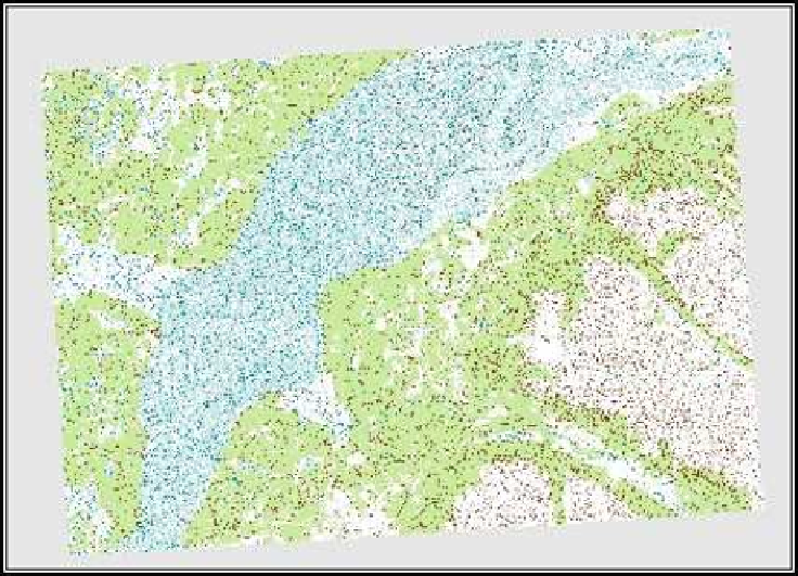
Figure 10.7: Seamless display of clipped DRGs
# Use map algebra to create the "clipped" raster
r.mapcalc ancb8=ancb8_collars
# Delete the mask
g.remove MASK
Clipping Vectors with GRASS
Clipping a vector map in GRASS is simpler than the raster exercise we
just went through. Basically, we need to specify the map we want to
clip and the map to be used as the clipping layer. Once we have our
data in order, we'll use the
v.overlay
command to do the work.
In this example, we will clip out the rivers that are contained in a sin-
following page, with the quadrangle shown in yellow. The first task is to
extract just the TANA5 quadrangle from our
itma
quadrangle boundary
map:
v.extract input=itma output=tana5 where="TILE_NAME='TANA5'"


Search WWH ::

Custom Search