Geography Reference
In-Depth Information
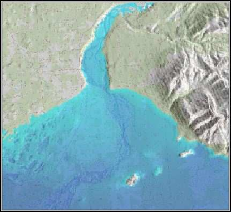
Figure 10.2: Raising sea level by 100 meters
Using
r.lake
is a simple example of a pretty powerful tool in the GRASS
hydrologic modeling toolbox. If you use your imagination, you could
combine this tool with a bit of shell script to loop through multiple iter-
ations of rising sea level, saving each image using
r.out.mpeg
to create
an animation. But we'll leave that exercise to you.
10.4
Creating Hillshades
You've no doubt seen those fancy shaded relief maps. Now we are going
to see how to create one from a DEM using the GRASS
r.shaded.relief
module. Again we'll use the
Ancc6_dem
DEM as the starting point. First
let's get a look at the usage and options for
r.shaded.relief
.


Search WWH ::

Custom Search