Geography Reference
In-Depth Information
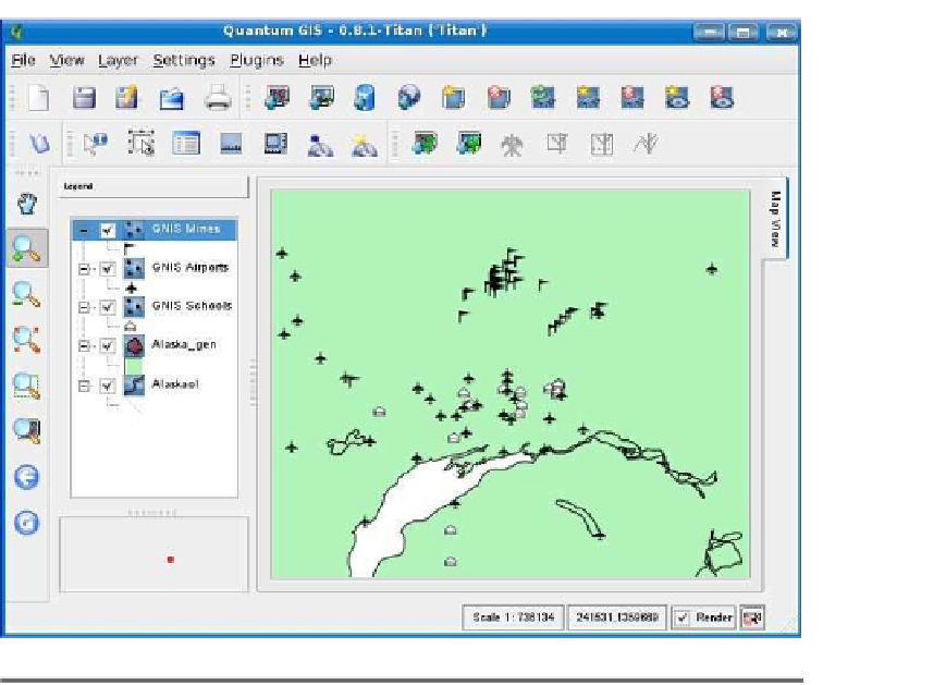
Figure 7.6: PostGIS layers created with the query builder
Note that now there is something in the “Sql” column next to the
gnis
layer. This is just the contents of the query box but serves to remind
us what we are adding in the event that we set up queries and add
more than one layer at a time. With the
gnis
layer selected, we click
in addition to the
school
layer, we added layers for airports and mines.
QGIS doesn't provide a very pleasing name in the legend when adding
layers in this way, so we took the liberty of renaming each of the GNIS
layers to something sane. So, now we have a map with three separate
layers, all derived from the
gnis
layer in our database.
Now maybe you are asking yourself, why not just add the
gnis
layer
and symbolize it based on type? We could do that, and it might work
assuming the following:
• Our data is not too dense.
• We want to see all types, not just schools, airports, and mines.
• Our layer isn't so large that it causes performance problems.


Search WWH ::

Custom Search