Geoscience Reference
In-Depth Information
The location of the drill hole collars is typically surveyed
with total stations tied to a local triangulation point. High-
precision GPS systems are increasingly common. It is also
common to develop a local topographic map from a topo-
graphic satellite or fly-over (aerial) image.
All surveys should be checked against other informa-
tion such as the general topography map of the area. The
elevation of the drill holes should coincide with the avail-
able topographic surface within an acceptable tolerance. A
discrepancy of more than half a bench or stope height is con-
sidered a problem. Two meters maximum error in elevation
is generally acceptable.
Down-the-hole surveys measure drill hole deviations
after the drill hole is completed. Commonly used measur-
ing devices are based on photographs of a bubble ring and
related to an original orientation, such as single or multi-
shot photos, a magnetic compass, or small gyroscopes, from
which azimuth and dip measurements are taken. For addi-
tonal details of measuring devices see for example Skinner
and Callas (
1981
) and Peters (
1978
).
The device is lowered into the hole, taking azimuth and
dip measurements at pre-specified intervals, typically every
20 to 50 m down the hole. The measurements are later used
to determine the X, Y, Z location of each sample. The mea-
sured azimuths and dips are particularly important for long,
inclined holes. The deviation of a drill hole is a function of
the rock it traverses, the drilling technique used, and the
depth and initial inclination of the hole. If the hole is drilled
close to the schistosity or the natural fabric of the rock, it will
tend to follow the weaker planes in the rock. If the drill hole
is drilled at a higher angle, it will tend to deviate normal to
planes of weakness.
If the hole is expected to deviate significantly, then more
frequent measurements should be taken. The composition
of the rock being drilled through is another consideration,
since some of the instruments used are affected by natural
magnetism, such as the reflex system and single-shot de-
vices. The presence of magnetic iron ore minerals, such as
magnetite, phyrrotite and quartz-magnetite alterations may
affect the readings. Other factors that increase the likeli-
hood of down-the-hole deviations are sudden and periodic
changes in rock hardness. Finally, the measured azimuths
should be corrected for magnetic declination, particularly
in high latitudes.
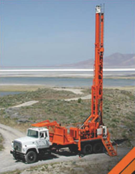
Fig. 5.1
Boart Longyear's LF-140-2 Core Drill Rig (diamond drilling)
mation. Although a properly done channel sample provides
good information, in practice, it is very difficult to obtain
consistently representative samples.
Representative channel samples will correspond to lim-
ited spatial coverage along exploration adits or underground
workings. In underground mines, where channel samples are
routinely gathered for grade control, the spatial coverage is
more significant, but the sample quality tends to be poorer,
because of the shorter times allowed for the sampling and as-
saying cycle. Most channel samples in this case become chip
samples, where only a small amount of rock is taken from
the face, with a high probability of being biased.
Drilling is the most common and important method for
obtaining representative samples. Drilling allows sampling
an unexposed orebody. The most common types of drill
holes include conventional rotary (percussion), reverse cir-
culation, and diamond drill holes (see Fig.
5.1
). Each drilling
method has its own characteristics and variants that affect
the quality of the samples collected. Although other methods
exist, they are either for special applications, or have been
replaced because they are slower and more expensive. W.C.
Peters provides a clear discussion on different drilling and
sampling methods (Exploration and Mining Geology 1978,
pp. 435-443).
5.1.2
Sampling Methods and Drilling
Equipment Used
In addition to drilling, samples can be obtained directly on
the surface or from underground workings through trench-
ing, channel samples, or chip samples. Samples chipped
from a rock exposure are generally not used in resource esti-