Geography Reference
In-Depth Information
2.5.1 Layer matching
While the misfits between layers are often tolerable, there are inevitably applications that
would benefit from their removal. This function is known generally as rubber-sheeting, and
is achieved by warping one layer so that it correctly fits an established base. Tools for this pur-
pose exist within the wider GIS field, and could be adapted to the Google Earth environment
where ease of use is a primary concern. Misfits also occur in a horizontal sense, when pieces
of imagery fail to align, as often occurs where fine-resolution imagery meets comparatively
coarse imagery. Again, tools to edge match exist in the wider world and could be adapted.
2.5.2 Rendering the non-visual
Most properties of interest to social scientists are not visible from above, and do not fit
the mirror-world metaphor of Google Earth. Cartographers have long recognized the need
to map such properties, and have devised techniques such as choropleth mapping for the
purpose. However, these are not as appropriate for Google Earth, with its emphasis on
the visual and on fine-resolution base imagery. Mashups of census data, for example, look
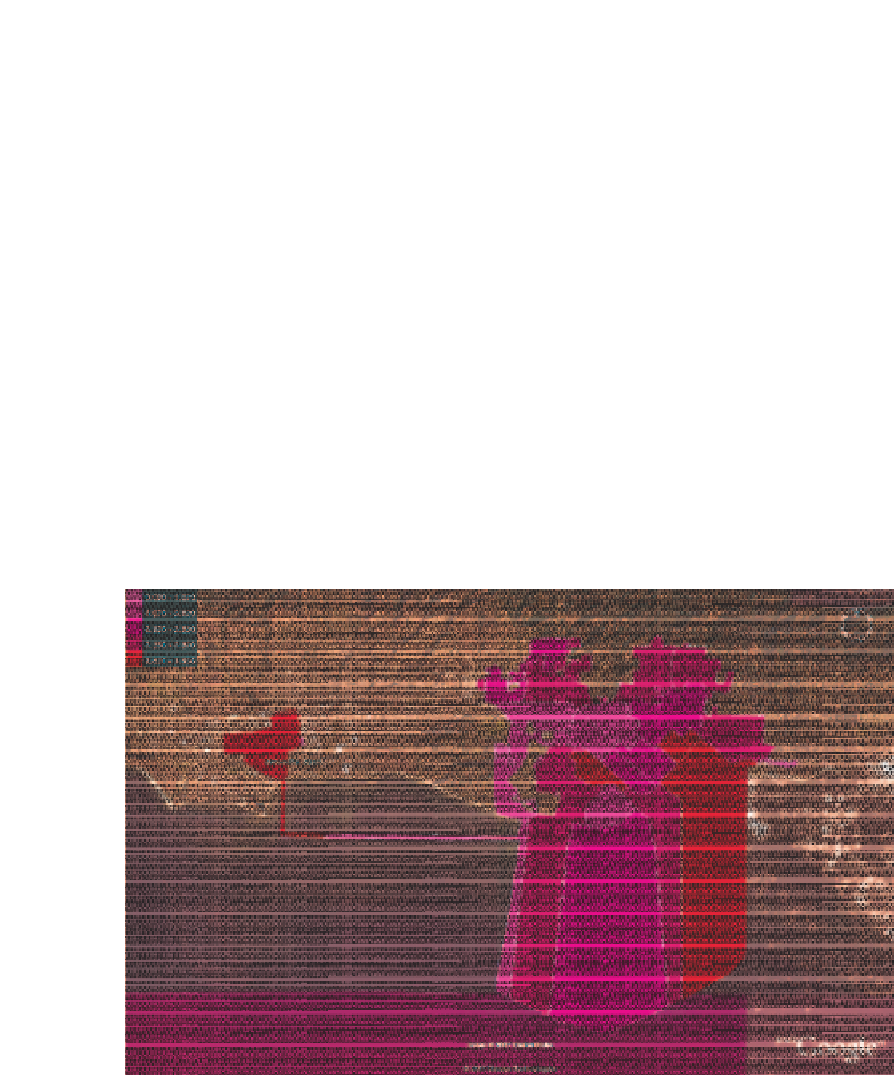
hopelessly crude when made using standard techniques (Figure 2.4). There is a need for
fresh thinking on this topic that exploits the rich set of options available in Google Earth.
Figure 2.4
Mashup of census summary data by census tract for the city of Santa Barbara. The
variable is average household size. It is standard census practice to extend coastal tract boundaries
over the ocean. The area to the west includes the airport and lies within the city limits, but California
law requires contiguity in city boundaries, hence the thin corridor. Google Earth includes an option
to make the census overlay semi-transparent


Search WWH ::

Custom Search