Geography Reference
In-Depth Information
effective visual insight into the city. The best of the models are selected by Google for viewing
in the Community Layer of Google Earth, thus completing the cycle of the public-at-large
creating the Visual City.
One of the additional techniques we have used extensively in our group at CASA to
communicate a visual sense of the city is panoramic imagery. The use of panoramas is not
a new phenomenon; indeed the first panorama was patented in 1787 (Wyeld and Andrew,
2006). Panoramic visualization is not three-dimensional
per se
, in that it consists of a series
of photographs or computer-rendered views stitched together to create a seamless image.
Rigg (2007) defines a panorama as an unusually wide picture that shows at least as much
width-ways as the eye is capable of seeing. As such, it provides greater left-to-right views than
we can actually see (i.e. it shows content behind the viewer as well as in front). It was not until
1994 and the introduction of Quick Time Virtual Reality (QTVR) for the Apple Macintosh
that panoramic production became available on home computers. Software was released
that allowed a series of photographs to be seamlessly stitched to form a single complete 360
×
180
◦
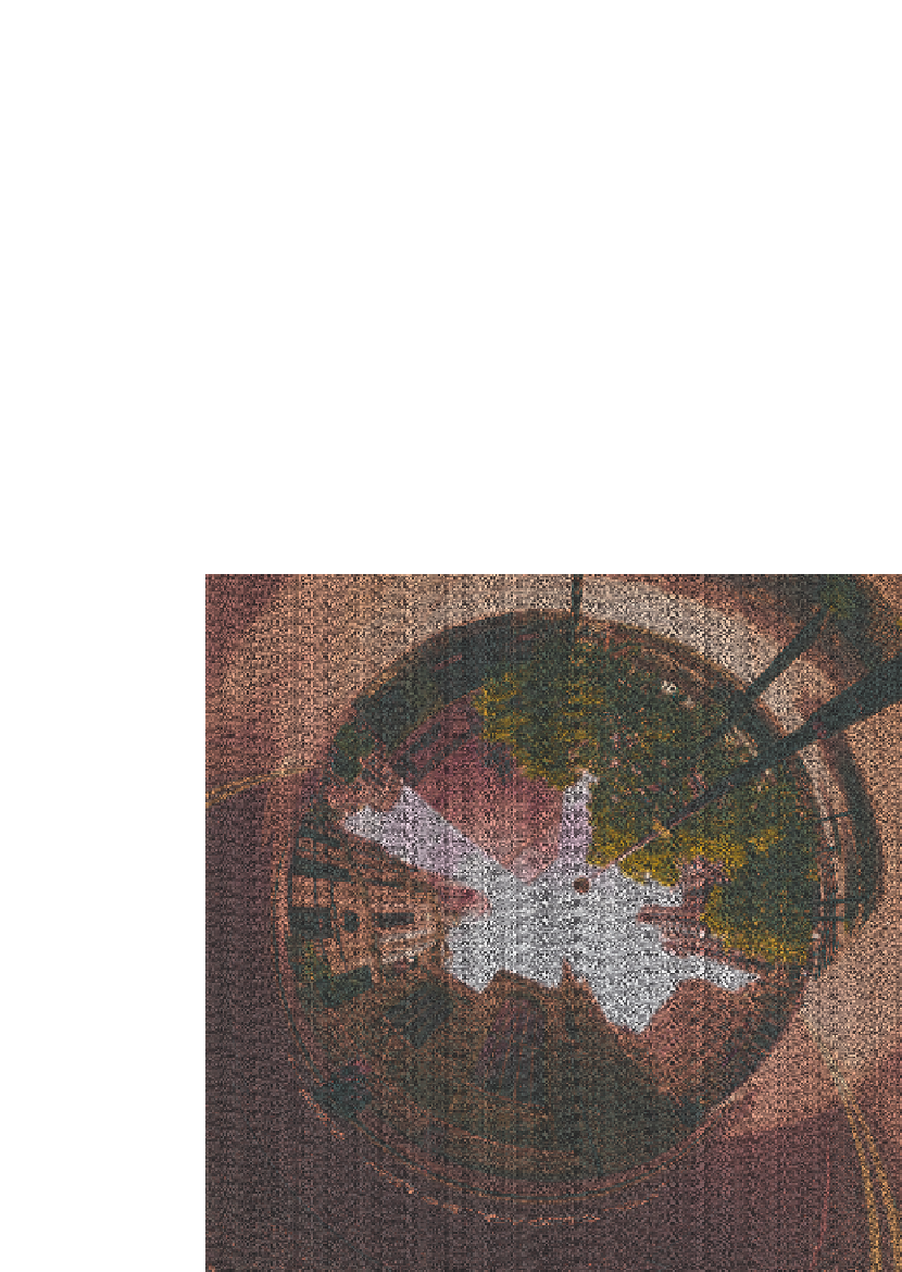
view, and we illustrate an example panorama in Figure 9.3.
Although panoramas are essentially two-dimensional, they can be inserted into a three-
dimensional scene to provide an instant sense of location and place. The field of view of a
panorama equates to the coverage of a sphere. As such, by draping a panoramic view onto
Figure 9.3
Swiss Re 360
×
180
◦
panorama


Search WWH ::

Custom Search