Geography Reference
In-Depth Information
emerging technologies are enabling us to query, manipulate and construct our environment
remotely. The Visual City can now effectively be streamed and developed over the inter-
net, opening up a range of possibilities, not only for visualization, but also for displaying
attributes of the population in the form of socio-economic geographic data, agent-based
models of how cities function or even as actual users engaging with the software. Indeed it
is fair to say that we are at a tipping point in city-based information systems in the way they
are both used and created.
The goal of our Virtual London project is to develop a truly virtual city which can be
occupied, queried and manipulated by citizens within a collaborative environment. This
development route has entailed a combination of data capture, model development and
optimization. The acquisition of suitable digital data is central to the development of Visual
Cities and their use in the emerging online three-dimensional GIS systems. In terms of pure
visualization the production of photorealistic models of the built environment is key to
the creation of visual space, yet it is a time-consuming, manual process and one that up
until recently was in the domain of professional photogrammetry. The standard approach
to producing a photogrammetric reconstruction of the city has been through the use of
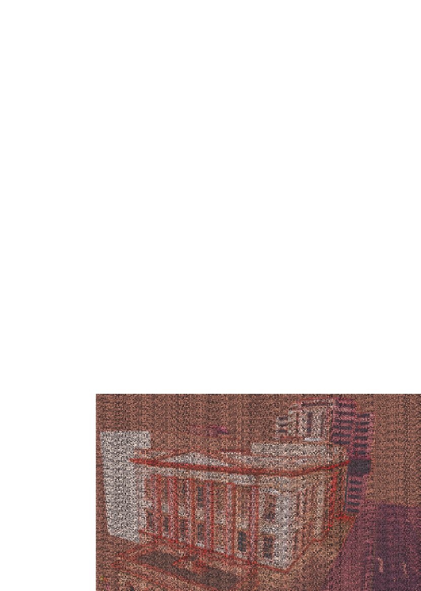
calibrated images and matching control points. Figure 9.1 illustrates the development of
one of the key buildings along the north bank of the Thames which is modelled using a
combination of oblique photography from helicopter capture and ground-based imagery.
The model took approximately two days to produce.
In today's Google-led world, which is based on releasing free software with high levels of
functionality combined with low levels of required expertise, it is now possible to consider-
ably reduce the time taken to produce such models. Google SketchUp is a unique program
that is available in both professional and freeware versions. The differences between the free
and professional versions are negligible and are only significant in terms of importing and
exporting data. This now means that the public at large are able to photomodel through
SketchUp and produce their own sections of the city. Google SketchUp is linked directly
Figure 9.1
Photogrammetric modelling


Search WWH ::

Custom Search