Geography Reference
In-Depth Information
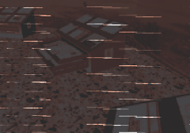
(a)
(b)
Figure 6.22
(a) Access to information via a virtual
map shop
; (b) map drawers provide links to
additional Web-delivered information
Users are able to 'walk' around the shop and discover information in a serendipitous way.
Information is provided via an interactive central pillar, in and on top of map drawers and
as interactive panoramas on the walls. The interface is shown in Figure 6.22(a), with detail
provided in Figure 6.22(b).
6.9 Conclusion
This chapter has outlined the underpinning concepts of research into the provision of a
'different' interactive multimedia package for the exploration of geographical space. It has
provided a general overview of surrogate travel and provided examples of inspirational
projects - the
Domesday
project and the
Aspen Movie map
. It then described the
Queenscliff
Video Atlas
, the
GeoExploratorium
and the
Townsville GeoKnowledge
product and provided
examples of the surrogate walk elements of each package, followed by an outline of the
results from an evaluation of the
Townsville GeoKnowledge
product based upon Bloom's
Taxonomy of Educational Objectives
(1956).
The use of surrogate travel products can provide a means for allowing users to experience
how a city operates by 'walking' through an interpreted or represented world. If properly
designed and presented, users can travel through a virtual space in a serendipitous manner,
and explore images of a city in a natural manner. They can turn, move and generally navigate
through the presented image set in a fairly natural manner. The use of surrogate travel
multimedia packages provides a powerful means for appreciating environments through
virtual exploration.
Acknowledgements
The concept and design of the
Townsville GeoKnowledge
project was by William Cartwright.
Data collection, HTML programming,
Dreamweaver
,
Flash
and
Swish
were by Susanne
Sittig and Andrea Lidl (exchange students from the University of Applied Sciences, Munich,


Search WWH ::

Custom Search