Geography Reference
In-Depth Information
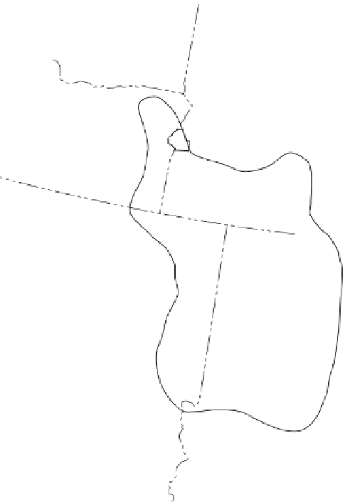
NORTH AMERICA - MORMON CULTURAL REGIONS
GAUSTAD
+ 50% LDS
MANGUS
ZELINSKY
Central Inter-Mountain Rural
Cultural Region
Mormon Religious Region
25 - 49% LDS
Data compiled by D.W. Meinig
CANADA
WASHINGTON
ND
MONTANA
IDAHO
OREGON
SD
WYOMING
NE
NEVADA
UTAH
COLORADO
CALIFORNIA
ARIZONA
NEW MEXICO
400 Kilometers
0
100
200
300
TEXAS
0
50
100
150
200 Miles
MEXICO
Longitude West of Greenwich
Figure 4.27
The Mormon Cultural Region.
Adapted with permission from
: D.W. Meinig, “The Mormon
Culture Region: Strategies and Patterns in the Geography of the American west, 1847-1964,”
Annals of the Association of American Geographers
, 55, 2 (1965), p. 196.
the west. In the Great Plains, the Homestead Act encour-
aged farmers to establish single farmsteads where a farm
family lived alone on their 160 acres and the nearest
neighbor was down the dirt road. In the rural Mormon
landscape, early settlers established farming villages
where houses clustered together and croplands sur-
rounded the outskirts of the village (Fig. 4.28). Clustering
houses together in a farming village allowed Mormons to
protect each other because the religious followers were
experiencing persecution in the East and because the
settlers' fears were raised by stories of Indians attacking
villages in the West. Equally importantly, through clus-
tering they sought to join together for services in each
village's chapel.
Geographer Richard Francaviglia offers several
factors that delimit the Mormon landscape in western


