Global Positioning System Reference
In-Depth Information
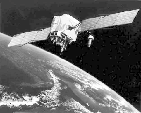
FIGURE 3.17.
Artist's impression of a NAVSTAR GPS satellite.
Image courtesy of NASA.
satellites pass overhead twice a day, their status is monitored, their clocks
are synchronized, and if necessary, their orbits are tweaked so that they are
in exactly the right position. The information that they provide to civilians
is free; we pay only for the receiver. Until the year 2000 this information
was intentionally degraded, so that a civilian receiver's position would be
given to within 100 m or so of the true position. However, such was the
usefulness of GPS to civilians that the deliberate degrading of data was
disabled,
13
and nowadays 80% of GPS receivers are civilian. Most naviga-
tion around the world and an ever-increasing amount of surveying work
are performed or enhanced by GPS.
Apart from impressive positioning accuracy, the great benefit of GPS is
its simplicity for the end user. Most of the e√ort and expense was put into
the transmitters; the receivers can be hand-held, are relatively inexpen-
sive, and are both quick and easy to use. To take just one example, we saw in
chapter 2 some of the benefits of GPS for broad-coverage geodetic surveys:
there are practical secondary consequences of this new capability that will
increasingly influence our lives, as we will see in chapter 8—improved
earthquake prediction, better flood monitoring, improved tra≈c manage-
13. The Federal Aviation Authority lobbied for undegraded GPS data for airliner naviga-
tion, rescue services, fishing boats, land surveyors, hikers, taxis driving science writers from
Manhattan to Brooklyn, geodesy research, geologists, geographers, civil engineers, and
urban planners—all of whom have benefited significantly from access to GPS data.