Global Positioning System Reference
In-Depth Information
FIGURE 3.9.
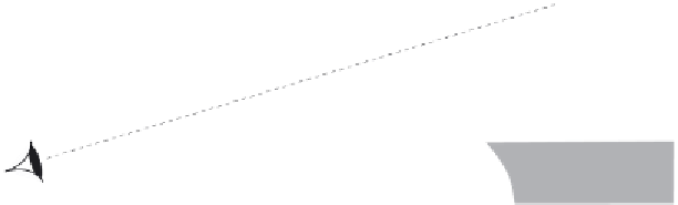
A mariner's astrolabe. (a) The instrument is suspended to hang vertically,
and the rotating alidade is aligned with the sun. Solar height can be measured from a
scale marked on the outer circle. (b) Like the cross-staff, the quadrant, and the back-
staff, the astrolabe must be used in conjunction with tables so that solar declination
can be taken into account.
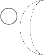
nomical almanac that included tables of solar declination predicted ahead
for several years. The declination angle is shown in figure 3.9b. It varies
throughout the year, as we saw in chapter 1, being 23.45\ at the solstices
and 0\ at the equinoxes.
7
Latitude was determined from the solar declina-
7. Drake took with him on his famous voyage (see chap. 6) Bourne's 1574 tables for the years
1573-92. Such a set of tables was called an
ephemeris
. Even in those days, more than a century
before Newton, it was possible to predict the positions of astronomical objects. As with the
planispheric astrolabe, however, the predictions were based on observations, not on the theory
of gravitation. One of the reasons for inaccuracy of latitude estimation in Drake's time, apart
from instrument error, was the inaccuracy of ephemeris data. For example, the position of
the Pole Star was not accurately determined until the end of the sixteenth century.