Global Positioning System Reference
In-Depth Information
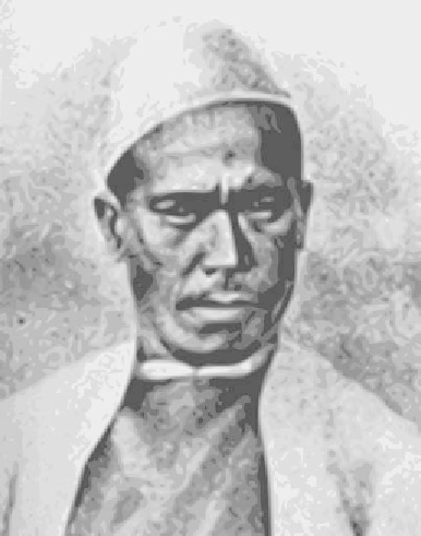
FIGURE 7.11.
The famous
Indian
pundit
Nain Singh
Rawat. Nain Singh made
three surveying expeditions
into Tibet, two of them to
Lhasa.
Wikipedia.
known in the outside world. To this end, Captain Thomas Montgomerie of
the survey trained many native Indians from the northern regions in the
disparate arts of surveying and spying. It was thought that Indians would
have a better chance of penetrating Tibet than would British surveyors.
These
pundits
, as they were called, were taught how to use sextants and
record their measurements, as well as how to disguise themselves, travel
inconspicuously, and construct cover stories.
Pundits were trained so that they could pace very precisely—exactly
2,000 paces per mile—over all kinds of terrain. In this way they could
measure the distances they traveled (yes, they walked the whole way).
Disguised as Buddhist pilgrims, they would carry prayer wheels and beads
—Buddhist rosaries that were supposed to have 108 beads on them but
which had 100 so that the pundits could count paces more easily and
surreptitiously. Maps and notes were kept in the wheel, where prayers
were supposed to be placed. This was sacrilegious to Buddhists; the pun-
dits risked expulsion, torture, or execution if caught by Tibetan authorities.
As each pundit returned, Montgomerie would add the new data to his
growing database and use the large corpus of information that he was
accumulating (by hook or by crook) to construct detailed maps.