Global Positioning System Reference
In-Depth Information
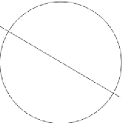
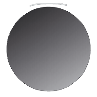
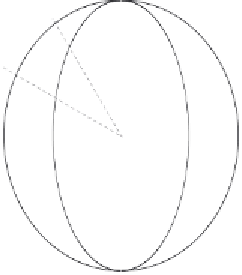
FIGURE 4.3.
Latitude and longitude, parallel and meridian. (a) A point on the surface
of the earth (here modeled as a sphere) can be uniquely specified by two angular
coordinates, latitude
and longitude
l
, measured from the equator and the prime
meridian, respectively. (b) Circles of latitude are called
parallels
. Here, the 30th and
60th parallels, north and south, are shown. (c) Viewed from the North Pole, the
parallels are circles, and the
meridians
(lines of longitude) are straight lines radiating
from the pole.
to turn it into a practical experiment, if you have a globe to play with.) Take
a small globe or something approximating it, such as a grapefruit or a
baseball. Now take a single piece of paper that is just long enough to wrap
around the globe. Cut the paper so that the height is just the same as the
height of the globe. You now have a rectangular piece of paper with a