Global Positioning System Reference
In-Depth Information
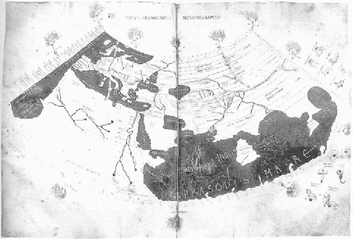
FIGURE 4.1.
A fifteenth-century rendition of Ptolemy's world map, from 150 CE. The
Mediterranean regions are recognizable; far-flung places like Britain and India are
not.
The British Library, Harley MS 7182, fols. 58v-59.
The Romans were (perhaps surprisingly) uninterested in mapmaking.
Following the demise of their empire, Europe sank into the Dark Ages—
dark, at least, in that the corpus of European accumulated knowledge
shrank. Little progress in mapmaking was made for a thousand years.
(During this period, mapmaking continued unabated in the Orient, and
especially in Islamic lands, where knowledge of the Greek philosophers
was retained.) Christian dogma claimed that truth was to be found in
the Bible, not by scientific investigation, and the maps that were pro-
duced in Europe reflected Christians' faith, not the results of exploration
or surveying.
Quite a few early maps still exist. The first map that has survived dates
from 6200 BCE and appears to be a town plan of Catalhöyük, in modern
Turkey. The Egyptians produced maps of larger areas. The oldest known is
the Turin papyrus, a topographical and geological map of a 15-km stretch of
the Egyptian desert, dating from about 1200 BCE. Anaximander, in the

