Geography Reference
In-Depth Information
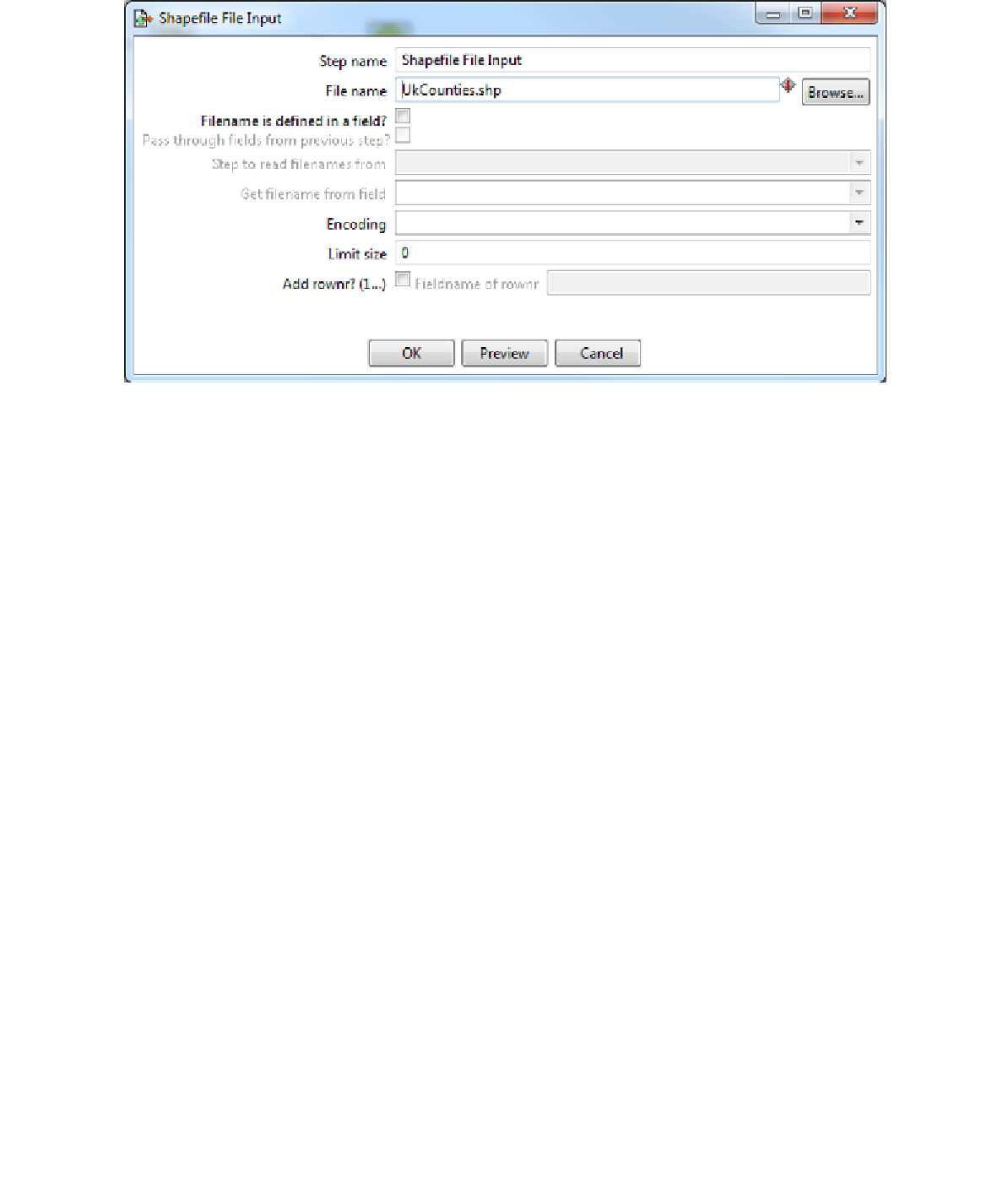
Figure 30: Configuring the Shapefile Input
The only thing we need to change is the file name. Click the
Browse
button, browse to the
location of the sample shapefile for the U.K. county boundaries you downloaded, and click
OK
.
You can use the
Preview
button to take a quick peek at your file before you click
OK
. After
clicking
Preview
, you'll be prompted for how many rows you want to preview.
Figure 31: Previewing the Shapefile Input
Entering
0
will show all the rows in the input file. Click
OK
to display the preview. GeoKettle
will open the file and show you a spreadsheet-like view of the data and any attributes within
the file.