Geography Reference
In-Depth Information
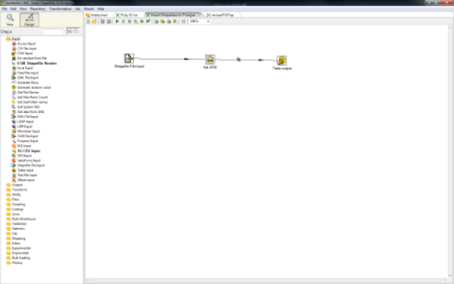
Figure 9: GeoKettle Interface
If you want to find out more, you can visit the GeoKettle website at
The Remaining Packages
As with database engines, there are simply too many GIS desktop packages for me to list
them all. Wikipedia has a good list of geospatial and GIS software, ranging from pricey to
free, at
en.wikipedia.org/wiki/List_of_GIS_software
,
including those that I've covered here.
My two personal favorites are QGIS and GeoKettle, but I encourage you to try all that you
are able to. Over the years, I've used many desktop GIS packages; some have very steep
learning curves, and some you can pick up in less than five minutes. As with anything, you
should pick the tool that does the job you need to perform in the best and easiest way
possible.
Please also note that the applications I've listed are used predominantly in the U.K. and
Europe. The popularity of applications varies all over the world. For instance, I believe that
IDRISI is a popular package used in Canada. The applications listed in this section are the
ones I use in my day-to-day GIS work.
As I've already mentioned, you have a ton of other stuff to take care of besides your choice
of software.