Geography Reference
In-Depth Information
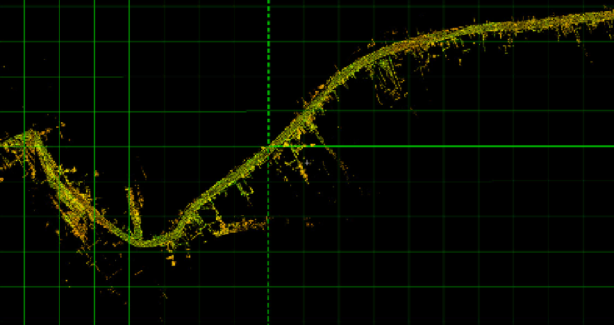
The 3D scanner is also an instrumental aid in designing the land networks (Figure 30):
forestry roads, county and national roads and motorways, or other land-based facilities: ski
tracks, bobsleigh courses, golf fields, power, gas and oil transport networks, etc.
Figure 30.
Road-building in Rarau Mountains (Suceava County) (50 m grid)
4. Conclusions
The 3D scanner is the most powerful and versatile instrument used in monitoring the
natural and man-related processes on short term scale. The processing/production times are
short and the mapping products are flawless.
On a large scale, it can be useful for a wide range of activities. Up to the present, it was used
for dynamicity analyses in geomorphology (gullying, landsliding, bank- and slope- collapsing,
riverine dynamics etc.), archaeology, architecture, civil and military engineering etc.
The first practical application on the Romanian territory was carried out on the Cucuteni
Ravine (Iasi County), in the Moldavian Plateau.
For small items, with minute change over time, the most recommended resolution is
1mm/1mm. For lare areas, with active dynamics over time, the most recommended resolutions
are 5-6mm/5-6 mm (reducing significantly the scanning time - two or three times faster).
The mapping products resulted following the interpretations of the 3D scanning results are
much more accurate that the ones produced using classic methods.
Author details
Romanescu Gheorghe
Department of Geography, "Alexandru Ioan Cuza" University of Iasi, Romania