Geography Reference
In-Depth Information
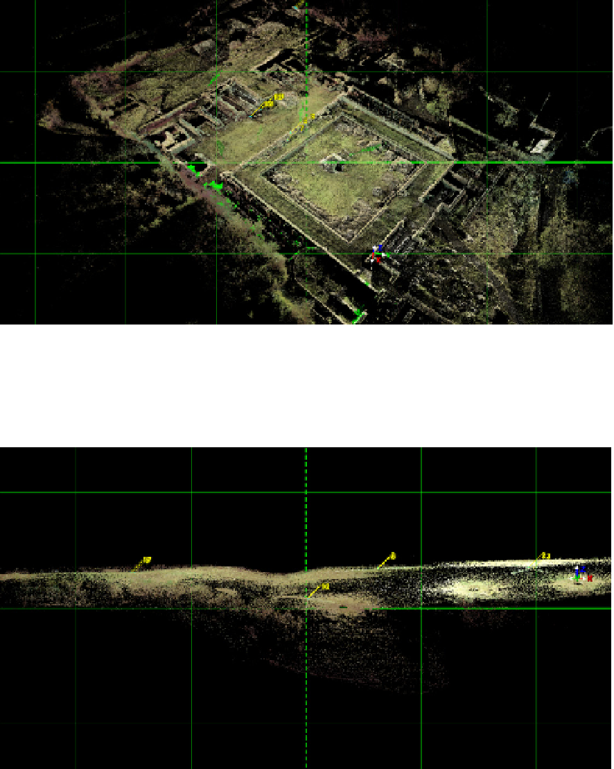
known contemporary Roman towns. The tridimensional image can help in filling the unknown
areas and in the clarification of certain issues of urban zoning (Figure 24). The complete image
of a settlement is useful in carrying out a succesfull synchronic comparative study.
Figure 24.
The walled town of Ulpia Traiana in Orastie Mountains (30 m grid)
On the archaeological site of Silistea (Neamt County), the 3D scanning was directed on the
defensive ditch of the settlement (Figure 25), making important contributions to the
monitoring of the cultural landscape.
Figure 25.
Silistea, Neamt County - the defensive ditch (30 m grid)