Geography Reference
In-Depth Information
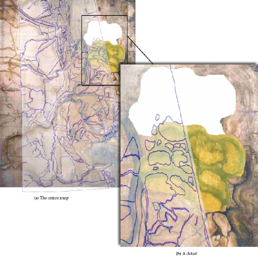
Figure 15.
Overlay of a georeferenced vectorization of the P map (in blue) on the “false case”.
To overcome this impasse, a complex methodological approach would be adopted: it would
be capable to check and take into account the metric information still preserved in the
ancient maps, though partially hidden, and finally to regenerate the lacking topographic
details or relocate them in a more reliable way. Only at that stage, a new phase of the study,
based on a new and more reliable ancient map, will be triggered for various classes of
researchers.