Geoscience Reference
In-Depth Information
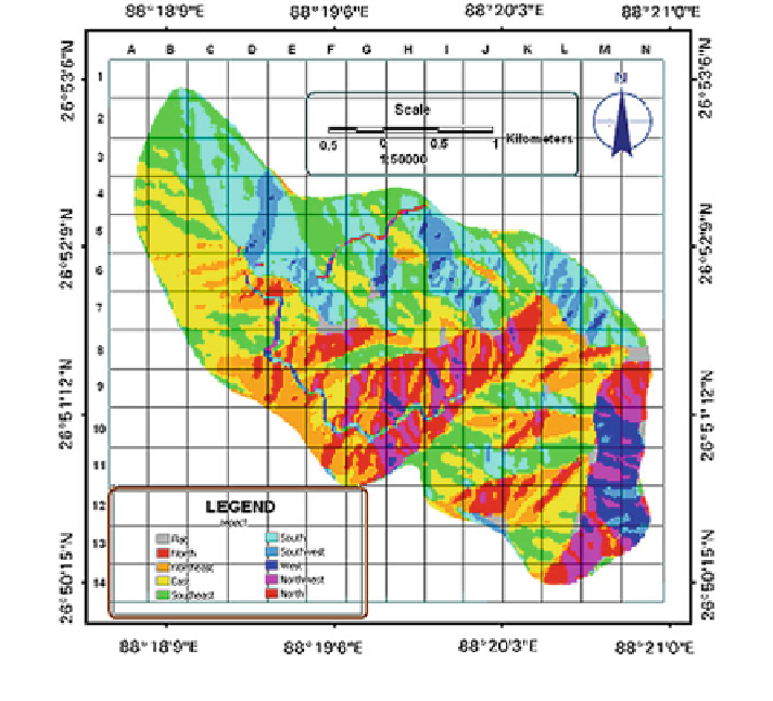
Fig. 2.7 Slope aspect map
The slope curvature map was also extracted from Digital Elevation Model
(DEM) on ARC GIS. The map shows (Fig.
2.8
) very high negative and positive
surface curvature along Hill Cart Road which passes through the steep escarpment
slope of the Shivkhola watershed. Paglajhora, Gayabari, Tindharia, and Shiviter are
dominated by the moderate to high levels of positive and negative surface curvature
with moderate levels of slope surface dissection (Fig.
2.8
). Extreme middle and
eastern marginal part register minimum curvature value. The study depicts that
landslide Potentiality Index Value increases with increasing positive and negative
curvature values (Table
2.7
). The positive curvature is common and that indicates
the tendency of immediate drainage of surface water causing ready washing and so
is detrimental to the stability of both soil and slope.
The study on slope angle states that there is rapid flowage of running water along
the steep slopes and formation of
first order channel with active headward and
downward erosion. Such conditions introduce steep valley side slopes and devel-
opment of drainage network. The continuous development of drainage network
yield huge amount of surface water and their confluence at a particular location
generate more seepage and reduce cohesive strength of the soil and induce slope
Search WWH ::

Custom Search