Geoscience Reference
In-Depth Information
planning of agricultural areas in the United States and other countries as well. In
India an empirical model for estimation of flood discharge in Ramganga basin
using Remote Sensing data was derived by Chandra and Sharma (
1978
). This
model of SCS Curve Number is used for estimation of runoff by correlating
generalized land cover with hydrologic soil groups and data is derived from the
SCS table (Ragan and Jackson
1980
; Tiwari et al.
1991
etc.). The SCS model is
attractive because the major input parameters are de
ned in terms of land use and
soil type. The advantage of a model having parameters de
ned in terms of land
use or land cover is that the user can experiment with alternate forms of land
development and assess the impact of that changes might have (Ragan and
Jackson
1980
). These models are originally developed for predicting runoff
volumes from agricultural
fields and small watersheds (Horn and Schwab
1963
;
Harrold
1957
). In the present study, the evaluation of surface run-off and land-
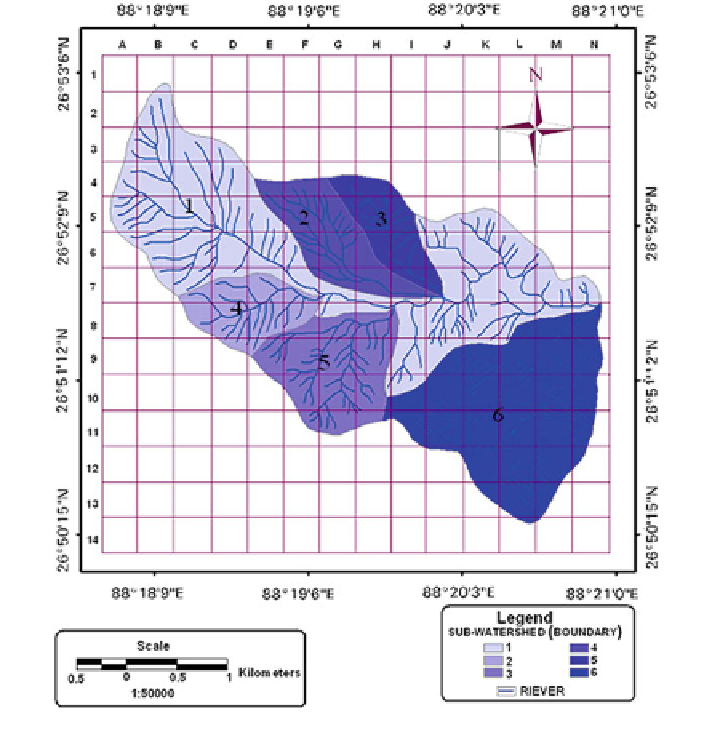
slide potentiality in the basin hierarchy of the Shivkhola watershed (Fig.
4.1
)will
Fig. 4.1 Six sub-watersheds with drainage
Search WWH ::

Custom Search