Geology Reference
In-Depth Information
14.1. Remote Sensing
Anupma Prakash
Rudiger Gens
Advances in remote sensing and computa-
tional science together have changed the
way people perceive and study the Earth.
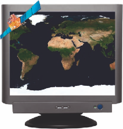
This cartoon depicts how satellite images
are now routinely visualized on personal
computers.
Figure by Anupma Prakash and Rudiger Gens, this work; Source image: NASA Blue Marble.
Introduction
R
emote sensing, a noncontact method of acquiring data or information about an object, area, or phenomena, is
now a well-established technique applied extensively in mapping, monitoring, environmental research, and in
decision and policy making at local, regional, and global scales. The noncontact nature of this technique has unique
advantages. For one, the same target can be observed from different distances, providing information at different
scales. In general, the further away the observing system (sensor) is placed from the target, the larger is the area it
observes, providing a more generalized and synoptic view of the target and its setting. The same target can also be
observed several times offering the possibility of using the data for easy monitoring and change detection. The
other big advantage is that remote sensing provides spatially continuous data whose accuracy is well understood
and documented. These data serve as a permanent and reliable archive available for use in the present and in future
to address a variety of application needs.
Though technically any noncontact method of data acquisition falls in the realm of remote sensing, practically
the perception is that remote sensing data is acquired from great distances above the Earth
'
s surface, such as by
sensors that are mounted on aircraft (airborne remote sensing) or on satellites (satellite remote sensing). These
sensors
“
”
'
'
look down
at the Earth
s surface, providing a bird
s-eye view of the Earth surface, which is different
from the
“
horizontal view
”
the human eye takes. Fortunately, programs such as Google Earth
, NASA World
™
Wind
, and extensive use of satellite images in weather reports and travel
maps have brought familiarity with this top-down view of the Earth to a stage of cognitive comfort of the
general public.
, and Microsoft Virtual Earth
™
™
Extensive and excellent introductory material about remote sensing is available in published literature (Rencz and
Ryerson, 1999; Gupta, 2003; Janssen et al., 2004; Elachi and van Zyl, 2006; Lillesand et al., 2007; Campell,
2008; Li et al., 2009). The aim of this chapter is not to replicate this available background material on the
physical principles of remote sensing, but to focus on the principles, applications, status, and future of remote
sensing technology as applicable to the field of coal-fire research
especially detection, mapping, monitoring,
characterization, and modeling of coal mining, coal fires, and their associated impacts.
-