Geoscience Reference
In-Depth Information
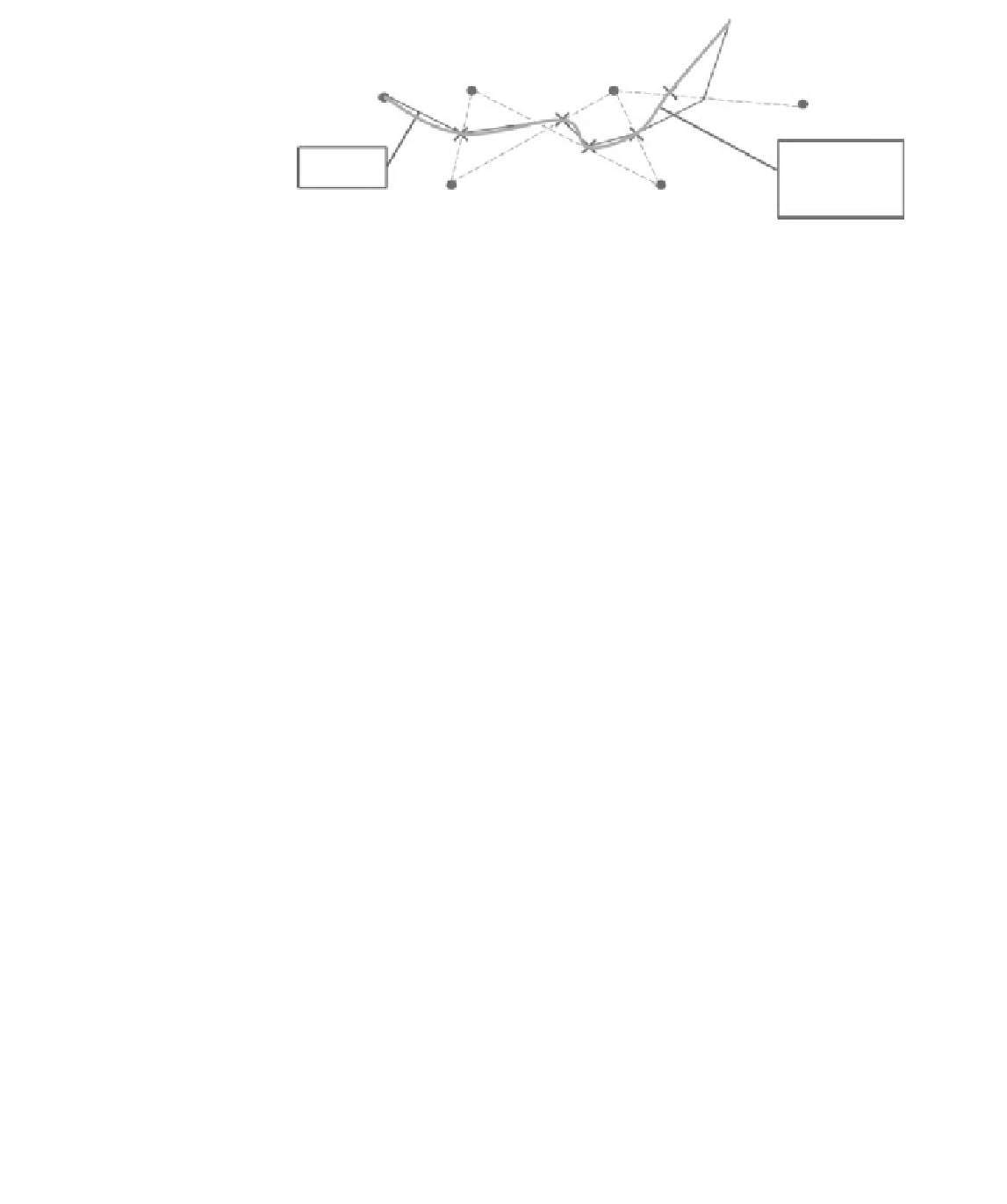
Figure 14.1
The process of
drawing isohyets from gauge
data which involves
estimating the location of
points with the required value
between pairs of gauge
measurements then drawing
smoothed isohyets from
these.
12 mm
11mm
10 mm
7mm
Smoothed
isohyet
(subjective, or subject
to assumption)
True
information
8mm
9mm
A commonly encountered issue when preparing isohyet maps is the fact that, as
a result of instrumental or human error, precipitation data is rarely 100% complete.
In the absence of a particular gauge measurement, an estimate of the missing value
is normally made from that measured at nearby gauges. In areas with low relief
the arithmetic mean of the values at three to four nearby stations might be adopted.
However, in areas with high relief a preferable alternative is to take the average of
these station values weighted by the long-term average ratio between stations.
Areal mean precipitation
Estimates of area-average precipitation from gauge network data are a focus of interest
within hydrology because they provide the basis for water resource estimation or
extreme event (flood or drought) forecasting. The estimate required is the total
volume of water falling on a specific drainage basin, i.e., the area of the basin multiplied
by the area-average precipitation depth. In areas with low relief where there is an even
distribution of gauges, a simple arithmetic average will provide an adequate estimate.
However, such conditions are rarely met and one of several alternative ways of taking
a weighted mean of the gauge measurements available is required. Weights can be
assigned in two general ways, either using mapping methods that involve or are
equivalent to drawing isohyets (including the computational equivalents such as
kriging techniques or reciprocal-distance-squared methods), or geometric methods
such as the Triangle method or Theissen method in which areas are defined over
which precipitation is assumed uniform. In practice, studies suggest that these
methods tend to produce comparable results especially if applied over a long period.
Isohyetal method
The basis of this method is straightforward, it involves:
(1)
constructing isohyets across the catchment based on measured values,
including making allowance for relief if appropriate;