Geoscience Reference
In-Depth Information
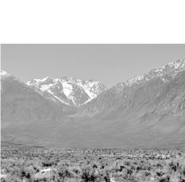
figure 5. h e Owens Valley east of the Sierra Nevada (with eastern Sierra Nevada
peaks in the background). (Photo by D. J. DePaolo, University of California, Berkeley.)
rence on the west coasts of continents at about 35 degrees latitude. During
the summer months, the atmosphere over California is dominated by the
Pacii c High, an area of warm, dry air that prevents storms from entering
the state. h us, California's climate is characterized by two main seasons:
one wet, the other dry.
As described above, Pacii c storms in the winter drop much of their rain
and snow along the western mountain slopes, concentrated in a relatively
short wet season. In fact, California has the highest year-to-year variability
in precipitation of all the western states. h is variability is the result of
a relatively small number of Pacii c storms—on average i ve or six—that
enter the state between the late fall and early spring. California's precari-
ous water situation is apparent in the fact that a shortfall of just one or
two major storms can mean the dif erence between a “normal” water year
and a dry year. As a result, water management is particularly challenging
in this state.
In addition to the year-to-year variations in precipitation, of course,
California's climate changes on longer timescales, from decade to decade,
century to century, and millennium to millennium. h e patterns of these
longer-term variations are discussed in more detail later in this topic.