Geoscience Reference
In-Depth Information
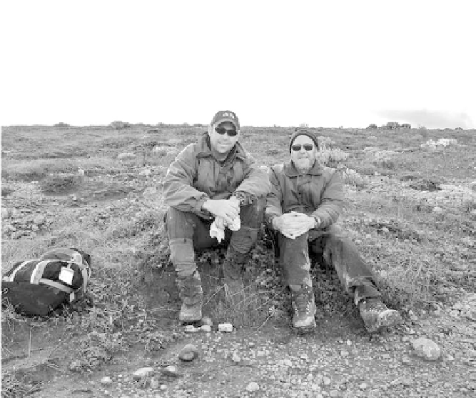
f igu r e 19. Archaeologist Douglas Kennett (on let ) with his father, paleoceanographer
and paleoclimatologist James Kennett, resting at er i eldwork on San Miguel Island in
the Santa Barbara Channel of the Southern California coast. (Photo courtesy of Douglas
Kennett, Penn State University.)
followed the end of the Last Glacial Maximum, or 20,000 years ago, was
marked by the melting of the massive glaciers that had shrouded much of
the Northern Hemisphere. h e retreat of the glaciers started slowly, but, as
more land was exposed, the bare ground and open waters absorbed more
solar radiation than did the glacial ice sheets, warming the earth's surface.
h is led to an increase in the rate of melting. Large volumes of the water from
the melting ice sheets l owed into the world's oceans, raising global sea level
at a rapid pace and transforming coastal regions worldwide.
Along the California coast, San Francisco Bay began its transition from
a river valley 18,000 years ago to a large estuary system 8,300 years ago as
rising sea levels began to enter the bay through the Golden Gate. h is rapid
sea level rise continued until the mid-Holocene, about 6,000 years ago, when
the rate slowed to only about an eighth of an inch per year and the shoreline
stabilized. h is allowed coastal habitats along the Pacii c Ocean, including
tidal marshes, the rocky intertidal zone, beaches, bays, and estuaries (includ-
ing San Francisco Bay) to develop and expand. h ese newly created coastal
habitats would have provided new sources of abundant marine resources.
Douglas Kennett proposed that some of the Uto-Aztecan people who had
migrated from the dry interior deserts to Southern California then migrated