Geology Reference
In-Depth Information
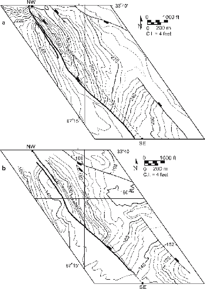
Fig. 8.17.
Structure contour maps on the tops of two coal seams in the Drummond Goodsprings No. 1
Mine, central Alabama. The line of the fault cutoff map is the NW-SE
dotted line
. The fault zone repre-
sented on the cutoff map is indicated by
heavy solid lines
.
a
Top of America coal seam. Elevations are in
feet above sea level.
b
Top of Mary Lee coal seam. Elevations are in feet below sea level.
C.I.
Contour
interval. (After Hawkins 1996)