Geoscience Reference
In-Depth Information
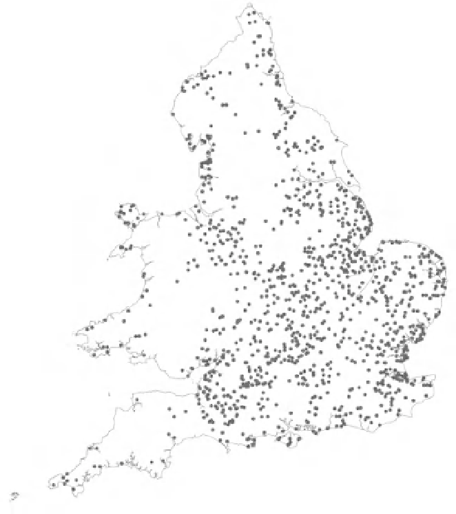
Figure 3.4
The distribution of
2007-2008 RHS baseline sites with silt
recorded as the predominant channel
substratum (in four or more
spot-checks).
©
Crown Copyright
and database right 2011. All rights
reserved. Ordnance Survey licence
number 100026380.
largely unchanged: 5.1% of baseline sites with
diseased alders in 2007-2008, compared with 5.5%
in 1996.
application of findings for river basin planning and
management.
Current state and changes in physical
character
The 2007-2008 survey results confirmed the
widespread physical modification to river channels
in England and Wales (Raven
et al
., 1998b).
Comparison with European countries that have
also assessed the physical state of their rivers
(e.g. Austria, Germany) suggests that the broad
pattern of channel modification is largely similar
(Muhar
et al
., 2000; Federal Environment Agency,
2005), even though the survey methods differed
somewhat from RHS (Raven
et al
., 2002). The
very small remnant proportion of unmodified
river channel, located mainly in the uplands, is
particularly striking but not surprising.
Discussion
The results in this chapter, based on a few selected
attributes, illustrate the power of the RHS baseline
surveys to provide an overall characterization
of rivers and streams in England and Wales.
The second baseline, with its additional coverage
of
minor
watercourses,
provides
a
particularly
detailed
and
representative
snapshot
of
the
river
network,
while
both
surveys
reveal
the
geographical
pattern
of
river
features
through
simple
mapping
outputs
(Figure
3.2).
Detailed
analysis
of
the
entire
datasets
will
provide
a
highly
valuable
resource
for
research
and
the