Geoscience Reference
In-Depth Information
Red Bluff
Gerber
Los
Molinos
Corning
area of detail
Hamilton
City
Orland
Chico
N
10 km
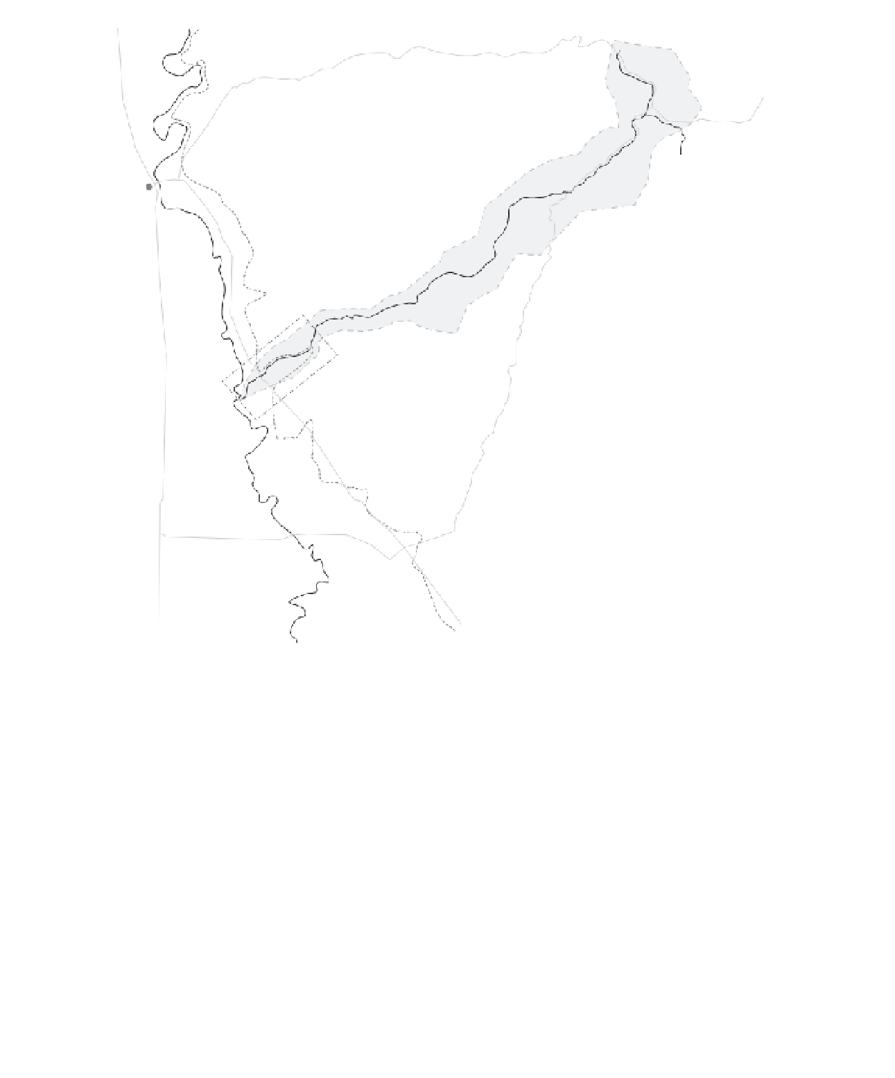
Figure 18.7
Location map of Deer Creek, Sacramento Valley, California.
In 1949 the US Army Corps of Engineers
undertook a project to control flooding along
Deer Creek, by straightening and clearing the
channel, and constructing levees along much of
the lower 11 km of Deer Creek. Upon completion
of the project, responsibility for maintaining the
levees was given to the local government (Tehama
County Flood Control), with responsibility for
the channel bed to the State of California
Department of Water Resources, which cleared
the channel of accumulated gravel and vegetation
in the 1980s. Since the levees were constructed,
three floods have broken through the left bank
levee about 8 km upstream of the Sacramento
River confluence, allowing flood flows across the
adjacent alluvial fan (Figure 18.9). After the most
recent flooding (1997), there was strong interest
among local residents and landowners to find a
more sustainable solution to flooding along Deer
Creek.