Geoscience Reference
In-Depth Information
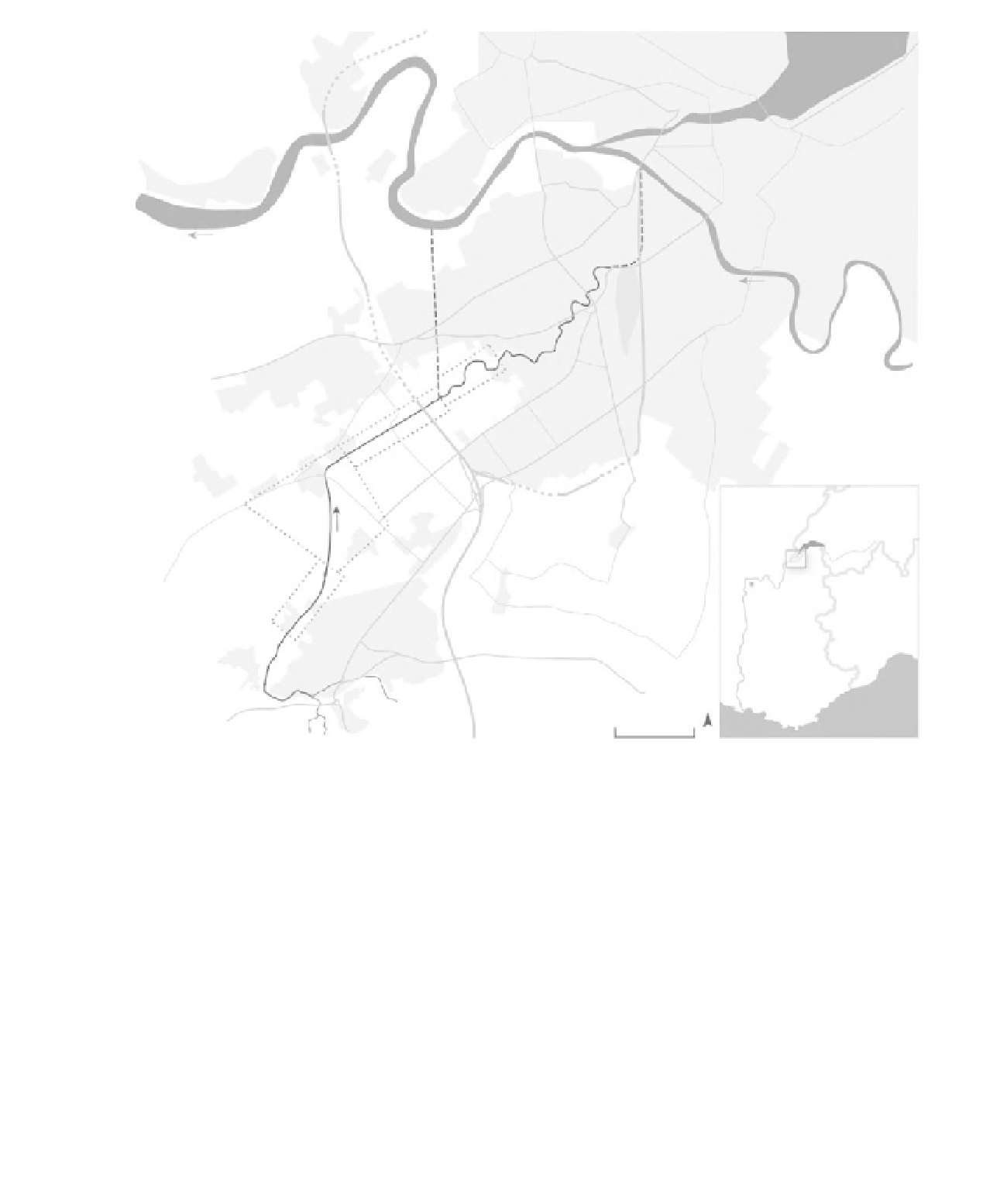
LAKE GENEVA
GENEVA
RHÔNE
Confignon
Lully
SWITZERLAND
FRANCE
Certoux
Perly
area of detail
Ly on
ITALY
Thairy
1 km
MEDITERRANEAN SEA
N
Figure 18.3
Location map of the Aire River, Canton of Geneva.
course (DIAE, 2003). However, if the culvert's 66
m
3
s
−
1
capacity is exceeded, parts of the industrial
area will be flooded. In 1987, a flood bypass
structure was completed 500 m downstream of
the autoroute N1 bridge. Its function is to protect
houses built on the floodplain downstream of the
Pont des Marais (DIA 2003), by diverting 45 m
3
s
−
1
into a bypass tunnel that flows directly to the
Rh one, for a total capacity of more than 100 m
3
s
−
1
.
The Aire neatly illustrates the challenges faced
by urban rivers in industrialized societies. Flood
peaks have increased because of urbanization and
the increased extent of impermeable surface in
the catchment, while urbanization encroachment
onto floodplains has increased the population and
infrastructure vulnerable to damage by floods.
The channelized reach of the Aire is typical of
the approach to river management of its epoch:
channel simplification and increased effectiveness
of flood conveyance. However, while the canal
drained the agricultural lands more effectively, to a
large extent it simply displaced (and exacerbated)
the flood problem downstream, delivering flood
waters more quickly and with larger peak flows