Travel Reference
In-Depth Information
Geology trails
Geotrails are not a recent phenomenon. They have long existed among
nature enthusiasts, but their labeling as a distinctive trail type is quite recent.
Since the 1990s, increasing numbers of geology trails have been labeled as
such, primarily for educational purposes (Hose, 2006) as users learn about
geodiversity in a wide range of contexts. These include coastal zones, moun-
tains, caves, forests and even urban areas where the relationships between
geology and the built environment are interpreted (Newsome & Dowling,
2010). Geology trails are based upon features of the geological, geomorpho-
logical or paleontological environment. Small-scale trails, such as the walk-
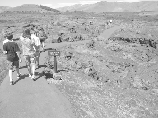
ing paths at Petrified Forest National Park, Arizona (USA), and Craters of the
Moon National Monument, Idaho (USA) (Figure 3.3), or the hot springs and
geysers areas of Iceland and New Zealand, immerse pedestrian visitors in the
fossilization and geomorphological processes that have shaped the earth.
Longer-distance drive trails may also focus on geology as their primary
resource and require the use of vehicles to travel from one visitor center to
another or from one geological site to another (Newsome & Dowling, 2010).
Creaser (2010: 28) describes several geotrails in Queensland, Australia, that
spotlight the state's dinosaur and opal heritage. There are ongoing discus-
sions about connecting Queensland's Dinosaur Trail with other existing and
potential paths along Lightening Ridge, linking them to the Australian Fossil
Mammal Sites World Heritage Site in Naracoorte and Riversleigh.
Underground cave trails are another manifestation of geotrails. The Blue
Creek Cave system in Belize is promoted as a long-distance corridor that can
take one or two days to walk (Boucher, 1990). Most karst caves that serve as
attractions have walking trails within them so that visitors can view
Figure 3.3
A geology trail at Craters of the Moon National Park, USA
Search WWH ::

Custom Search