Geoscience Reference
In-Depth Information
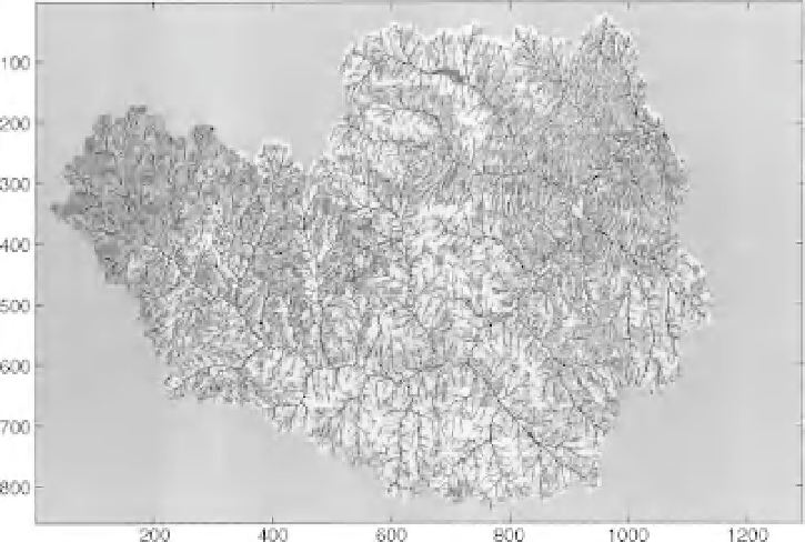
Figure 2.7
A map of hydrological response units in the Little Washita catchment, Oklahoma, USA, formed
by overlaying maps of soils and vegetation classifications within a raster geographical information system with
pixels of 30m.
units” by GIS overlays does not solve the problem of determining how much of the rainfall becomes
runoff, since the classification of the landscape by its soil and vegetation characteristics does not give the
hydrological parameters needed to describe the processes operating at the response unit scale directly.
Many such models use simple conceptual components to describe each HRU, similar to the type of
explicit soil moisture accounting models that have been used very widely at the catchment scale since
the very earliest days of rainfall-runoff modelling on digital computers. Such an approach can also be
used to predict spatial variations in both evapotranspiration and snowmelt (e.g. Gurtz
et al.
, 1999).
2.4 Early Digital Computer Models: The Stanford Watershed Model
and Its Descendants
The computational constraints on rainfall-runoff modelling persisted until the 1960s when digital com-
puters first started to become more widely available. Even so, those computers that were available were
expensive, very slow by today's standards, and had very limited memory available. Even the biggest and
most expensive were much less powerful than a simple portable PC of today. The types of program that
could be run were limited in size and complexity. During this period there was, however, a very rapid
expansion in the number of hydrological models available. For the most part they were of similar form: a
collection of storage elements representing the different processes thought to be important in controlling
the catchment response with mathematical functions to describe the fluxes between the thresholds. One
of the first and most successful of these models was the Stanford Watershed Model developed by Norman
Crawford and Ray Linsley at Stanford University (a version of the model from 1960 is reproduced by
Loague, 2010). The Stanford Watershed Model later evolved into the Hydrocomp Simulation Program
(HSP) and was widely used in hydrological consulting. The model survives, with the addition of water