Geography Reference
In-Depth Information
landowners were definitely not into it. In fact, they opposed and tried to defeat
the project. “What do you mean,” asked a Funai employee in Primavera do Leste,
“an Indigenous association in charge of their own environmental project? Xavante
women trying to take control of their own lives? Xavante youth carrying GPS
instruments to map the boundaries of their reservation? This sounds to me like
international interference in our country's business.” At the time, I worked at the
University of Tennessee in Knoxville, in the United States, which helped fund my
trips to Brazil. The excuse he used is well known: Brazilian “Indians” do not have
the capacity to care for themselves and take control of their lands. Their attempts at
doing so are directed by outsiders. And the man was not interested in discussing the
project, either. Instead, he was invested in trying to get me to go on a date with him
that night in town.
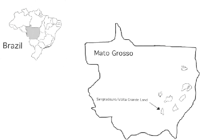
Figure 6.4. Location of Terras Indígenas (T. I.) Xavante in Mato Grosso state, Brazil.
As the Flowers and Fruits team went around the Sangradouro land and beyond,
using GPS to map important groves of flowers and fruits, we immediately started
facing opposition from the Salesian missionaries and local farmers. The tires of our
Mitsubishi truck were slashed in the town of Primavera do Leste, about 50 kilometers
from the Idzô'uhu Village, in April 2002. As we finished making copies of the
Livro de Mapas da Associação Xavante Warã
(Book of Maps of the Xavante Warã
Association)
5
at a small copy place, we saw the Sheriff of Primavera do Leste standing
right by our truck. I thought he was going to help us file a police report. He asked