Geography Reference
In-Depth Information
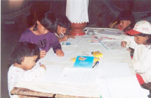
Figure 6.1. Xavante children draw the assassination of Joaquim Maradedzuro. Idzô'uhu
Village, T. I. Sangradouro, 2003.
officially called, was to map the groves of flowers, fruits, roots, sprouts, and seeds
on and around the Sangradouro Indigenous Land. These resources are indispensible
for the physical and cultural survival of the Xavante community.
Batika Dzutsi'wa, a Xavante medicine woman and midwife, and I, were main
project leaders.
3
Batika had deep knowledge of the Xavante
cerrado
, the savannah
,
so she directed the women about how to identify, collect, and document important
plant species. I worked as an intermediary between the Associação Xavante
Warã, the villagers' association, and the United Nations Development Programme
(UNDP), which funded what the agency classified as a “small project.” It was my
responsibility to do all the writing, in both Portuguese and English; train the Xavante
youth in GPS mapping; deal with local farmers and government officials; and drive
our Mitsubishi rental truck around the area. The little Xavante I spoke was enough
to communicate efficiently with the community. The Flowers and Fruits project
was originally envisioned by the women and their elders to help villagers seek
independence from the tight grip of Catholic missionaries to become economically
self-sufficient, thus enhancing the overall quality of Xavante life.
The Xavante Book of Maps, produced as the very first product of the Flowers
and Fruits project, was an important step toward documenting Xavante occupation
and use of their land at the turn of the millennium. As detailed in Chapter 5 in this
topic, the
Paróquia São José
, a Salesian Catholic Parish located on the outskirts
of the Sangradouro land, controls the 13-plus villages inside Sangradouro. The
Paróquia
serves as a gate-keeper for goods, services, and projects that might lead to