Geography Reference
In-Depth Information
201
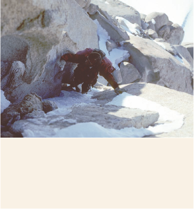
Figure S.14. Here I am free-
climbing the upper portion
of The Spectre. Photo by
Mugs Stump.
distance down to the shoulder, and Mugs mostly downclimbed after me, strip-
ping the hardware from the belay points. At the shoulder, we figured a glissade
down the snow chute would be the fastest way back to the base of the mountain,
so we sat back on our heels, set the points of our ice axes in the snow for braking,
and slid all the way down to our snowmobile. My dream a decade earlier of bow-
ing before The Spectre had been exceeded. What a grand and memorable day in
the mountains it had been!
December 18 dawned a “beautifully clear day among mountains.” A bank of fog lay
six hundred to seven hundred feet below on Scott Glacier, and climbed up the valleys be-
tween the spurs of the escarpment on the western side. The rations for both men and dogs
were more than ample to reach their next depot at “Mount Base,” so the party lingered
another day.
Here Blackburn assessed the geology he had encountered during the expedition. The
entire width of the range appeared to be underlain by igneous rocks (Fig. 6.18). Most
were reddish-brown, some were darker, but all appeared to be plutonic. They indicated
that in this region a massive tract of crust had melted, forming a composite body of gran-
ite plutons, a batholith. The scale of the body was comparable to other great granite masses
on Earth such as the Sierra Nevada batholith of California or the Patagonian batholith
of the southern Andes. (A batholith is a body of intrusive igneous rock of large, regional
dimension.) The small occurrences of gneiss and schist to the north at Mount Hamilton