Geography Reference
In-Depth Information
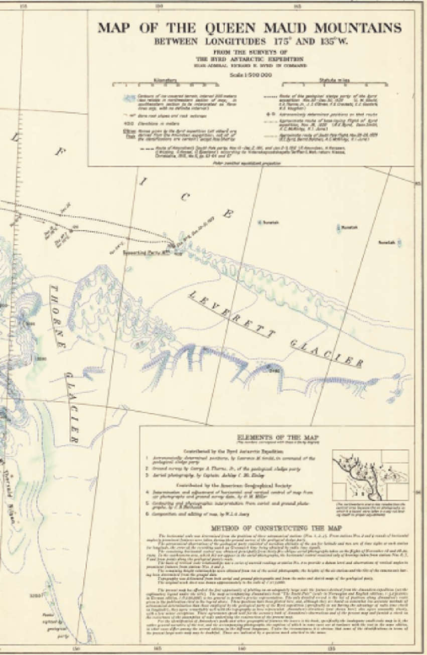
Figure 5.18. Combining Amund-
sen's vague mapping, aerial
photography from Byrd's polar
flight, and his party's survey
along the mountain front, Gould
published this topographic map
of the Queen Maud Mountains
in 1931. Compare with Fig. 5.6.
Reproduced by permission of the
American Geographical Society.