Global Positioning System Reference
In-Depth Information
assigned, e.g., the
HealthDivision
hierarchy. The hierarchy name is built
from dimension and hierarchy names, separated by dot, e.g.,
CRDivision.
HealthDivision
. The additional attributes of a level can be included as a level
property indicating its name, the corresponding attribute name in the SDW
table, and its type. Using GeoMondrian, the type of attributes is extended
by geometry as can be seen in Fig. 7 for defi ning spatial levels for provinces,
counties, and districts. This property can be displayed in a cube browser as
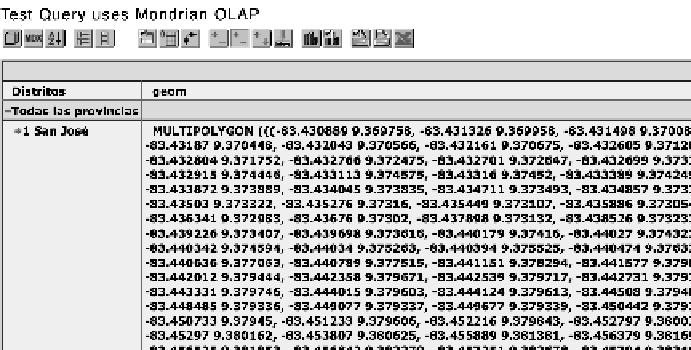
shown in Fig. 8 for a part of geometry of the San José province.
Furthermore, two additional measures (i.e.,
Births
and
Deaths
) with
the
sum
aggregate operator are defi ned in Fig. 7; the third measure called
Population
is semi-additive, i.e., it cannot be summed in the hierarchies of
the
Time
dimension. In our example, this dimension does not include the
hierarchy since the data is collected on an annual basis. According to user
requirements, if the
Population
for all periods is required, the
avg
function
could be applied as specifi ed in Fig. 7. Notice also that, in our example, in
order to aggregate the
Time
dimension members according to all periods, in
the defi nition of the hierarchy for the
Time
dimension the value true for the
has All
parameter must be established. The additional measure with label
CalculatedMember
will be explained in the next sub-section.
To simplify the defi nition, Fig. 7 considers denormalized hierarchies of
the
CRDivision
, i.e., having all attributes in one table. If several tables are
used representing a snowfl ake schema, e.g.,
District
,
County
, and
Province
tables, before defi ning levels the corresponding join operations must be
specifi ed for each hierarchy as can be seen in Fig. 9 for the administrative
division.
Fig. 8.
A part of geometry for defi ning a San José province in Costa Rica (GeoMondrian).
Search WWH ::

Custom Search