Geoscience Reference
In-Depth Information
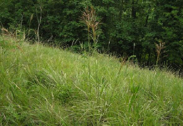
Fig. 16.3
There are extensive areas, especially in the Horton Plains area that are covered with
patana grass (
Chrysopogon zeylandicus
)
Current evidence indicates that increasing areas are subject to land degradation
and poor management, lessening the land available for agricultural uses. Apart from
areas under shifting cultivation, it is estimated that 46 % of the agricultural land
is affected by water erosion and 61 % by declining soil fertility. Large losses of
soil and declining soil fertility continue to result in reduced crop yields, increased
production costs and lower incomes for many land users.
The total extent of agricultural land is 31 % with a per capita land availability
of 0.38 ha but agricultural land per capita is 0.26 ha which is among the lowest
in Asia and which is subjected to fragmentation and eventual overexploitation of
land. As populations grow, farmers are forced to cultivate smaller and smaller
plots, where the soil eventually becomes depleted, or they expand onto marginal
lands - fragile hillsides, semi-arid areas, cleared forestland. Low-intensity multi-
crop agricultural regimes which supported natural eco-systems and preserved soil
fertility have been largely replaced by plantatin agriculture, reducing national forest
cover to 22 % by 2002. Large quantities of pesticides and herbicides are used in
farmlands close to pristine forest reserves; their impact on non-target organisms
and on the environment needs urgently to be assessed, and mitigatory actions taken
accordingly. There is doubt about whether they can be repaired once these lands
become damaged.
According to FAO estimates the extent of degraded arable land is about 10.8 %
(Report on Land Use-1998) About 10 % of the tea land and 25 % of the rubber
land have been abandoned due to reduced productivity caused by soil erosion
(Griggs
1998
). The farming communities, as well as the policy planners, have
Search WWH ::

Custom Search