Geoscience Reference
In-Depth Information
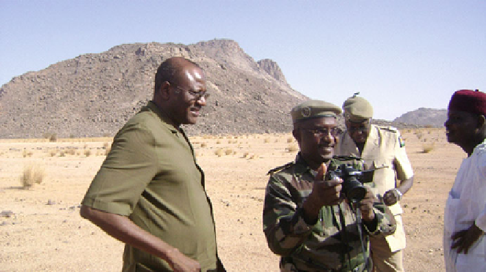
Fig. 10.2
Massifs of Air (Ing. foresters going to the steering committee meeting for Sustainable
Co-management of the Natural Resources of the Air-Tenere Complex: Iferuan June 2012)
Niger is one of the poorest countries in the world. Its fragile economy is heavily
based on agriculture and cattle breeding (75 % get their incomes from the land).
The low speed of economic growth, inflation and external and internal imbalance,
severely affect the standard of living of the populations. During recent years, Niger
experienced a series of social and political crises which led, to a deterioration of
public finance and the slowing down of production activities. Despite the difficult
economic situation, the socio-political environment is relatively stable since the end
of 1990s thanks to the adoption of democracy. The ongoing decentralization process
is one of the major events of the present situation. Since the adoption of the first
pilots in 2001, it symbolizes the hopes for change which the country really needs
for its development. The creation of the 265 communes and the establishment of
regional and local councils are the determining factors announcing a new era of
governance.
2.2
Physical Environment
(a)
Relief:
Niger covers an area of 1,267,000 square km (km
2
) with 500,000 km
2
of desert
lands (Tenere and Tall). It lies on continental sediments strongly leveled by
erosion. Characterized by low altitudes (200-500 m), the relief is marked by
very ancient mountainous massifs in the north- west (massifs of Air). Further in
the south, going from west to east, the topography is shaped by the plateaus of
Adar Doutchi Maggia, Damagaram, Damergou and Koutous and the vast sand
plain of Manga (Fig.
10.2
).
Search WWH ::

Custom Search