Geoscience Reference
In-Depth Information
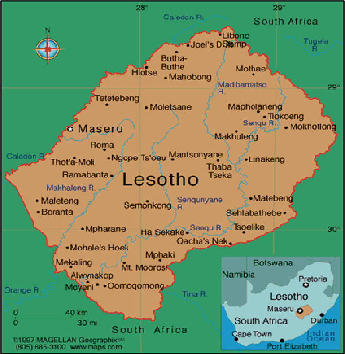
Fig. 8.2
Map of Lesotho, a land locked mountainous country in southern Africa
The foothills have elevations ranging from 1,800 to 2,000 m and form a narrow
strip running northeast to southwest, adjacent to the lower mountain range. This
region covers 10 % of the country and also supports high population densities.
The Senqu/Orange River Valley, between 1,500 and 1,800 m above sea level, is
a major grassland area, marked by shallow soils and this make up about 11 % of
the land area. The population in this region depends largely on livestock and mixed
farming. The mountains range from 2,000 to 3,400 m and are primarily used for
summer grazing. They host some unique African alpine and sub-alpine habitats of
the Drakensberg range and they make up about 59 % of the land area.
Lesotho is generally classified as temperate, with the highlands areas experienc-
ing severe winters with ground frost up to 200 days a year. Such climatic conditions
undoubtedly limit the scope of crop diversity. The average annual rainfall is 780 mm
per annum, of which 85 % falls between October and April. The precipitation is
Search WWH ::

Custom Search