Environmental Engineering Reference
In-Depth Information
113° 40'
Seepage run reach and
identification number
Gauging station
Other discharge
measurement site
14
Salmon
14
13
12
11
10
45°
45°
9
Tendoy
8
7
6
Lemhi
5
113° 20'
4
3
2
1
Leadore
44° 40'
44° 40'
113° 40'
0246
8 MILES
113°
026
8 KILOMETERS
113° 20'
of the exchange rates of surface water and
groundwater. As such, the meters are useful
for examining the spatial and temporal vari-
ability of exchange rates. Measurements at
multiple locations and times may be required,
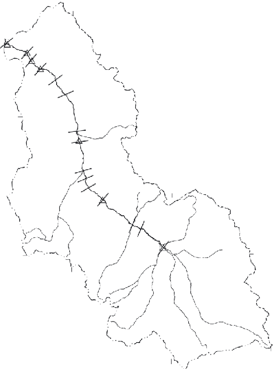
Figure 4.2
Seepage run reaches, gauging stations, and
discharge measurement sites in the Lemhi River basin, east-
central Idaho, August and October 1997 (Donato,
1998
).