Geoscience Reference
In-Depth Information
490
Spring Lake
Samphire Lake
480
Glauberite Lake
470
460
450
0
1 km
440
Former water-table and
groundwater flow
Present water-table and
groundwater flow
Possible future position
of water-table
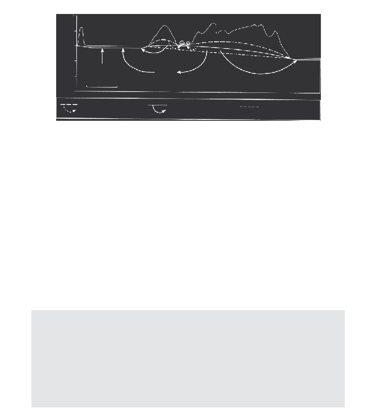
Figure 16.9
A schematic representation of the process of 'playa capture' or playa abandonment due to groundwater head decay.
Samphire Lake formerly had a strong groundwater discharge but is now vegetated, with Glauberite Lake progressively capturing
the groundwater flow system in this region (after Jacobson and Jankowski, 1989).
deposition within dunefields and ergs (see Chapters 18
and 19), particularly where the water table is close to the
surface, as is the case in many coastal sand seas, playas
and sabkha environments. Aeolian entrainment and depo-
sition in dunefields is a function of sediment availability
and transportability, both of which are controlled by fac-
tors such as sediment size, sediment dryness, the degree
of surface cementation, the wind energy and the degree
of vegetation or lag cover (Kocurek and Nielson, 1986;
Kocurek, 1988, 1991). The presence of a high water table
can substantially modify ground surface conditions and
limit the extent to which the wind can act as an erosional
agent (Kocurek, Robinson and Sharp, 2001).
The concept of the water table acting as a base level
for wind scour was first suggested by Stokes (1968) and
has been described in detail by Fryberger, Schenk and
Krystinik (1988). A near-surface water table, sometimes
called a
Stokes surface
, can influence aeolian processes
in four ways. The first, as originally described by Stokes
(1968), arises from the higher cohesivity of damp sand in
proximity to the water table, primarily as a result of in-
creased intergranular surface tension due to the presence
of pore water. Damp or wet sand is therefore less easily en-
trained by the wind and the boundary between dry and wet
sediment may act as an erosional disconformity. Stokes
surfaces in modern arid environments (Table 16.4) vary
in extent from extremely localised zones within interdune
areas up to extensive planar surfaces of at least 25 km
2
(Fryberger, Schenk and Krystinik, 1988). Modern Stokes
surfaces have a variety of features and associated sedi-
mentary structures, the most typical of which (in aeolian
systems) is the extremely sharp truncation of underlying
Table 16.4
Examples of modern Stokes surfaces.
Location
Setting
Source
Sabkha Matti, Arabian Gulf
Continental sabkha
Kinsman (1969)
White Sands dunefield, New Mexico,
USA
Alkali flats in continental sand sea
Loope (1984), Fryberger, Schenk and
Krystinik, (1988), Kocurek
et al.
(2007)
Jafurah Sand Sea, Saudi Arabia
Coastal offshore prograding sand sea
Fryberger, Schenk and Krystinik, (1988)
Guerrero Negro, New Mexico, USA
Coastal onshore prograding sand sea
Fryberger, Schenk and Krystinik (1988),
Fryberger, Krystinik and Schenk
(1990)
Great Salt Lake Desert, USA
Continental sand sea and salt flats
Stokes (1968)
Skeidararsandur, southern Iceland
Sandur plain with small dunefields
separated by flooded interdune flats
Mountney and Russell (2009)