Geoscience Reference
In-Depth Information
Box 15.1
Owens (dry) Lake, USA
Owens (dry) Lake, USA, was a perennial lake at the terminus of the Owens River for most of the last 800 000 years
(Smith, Bischoff and Bradbury, 1997). During the late 1800s and early 1900s the lake fluctuated between about
7 and 15 m deep and had an area of about 280 km
2
, depending on drought conditions and irrigation diversions
(see Figure 15.15). As a result of the diversion of inflow waters beginning in 1913 the pre-existing perennial
saline lake (e.g. Figure 15.7(d)) developed into a wet groundwater discharge playa by 1928 (e.g. Figure 15.7(b)),
Lone Pine
California
San Francisco
Inflow
Los Angeles
Keeler
Owens
Lake
Historic shoreline and lake bed
Dust Control Areas (2003-2006)
Olancha
0
5
miles
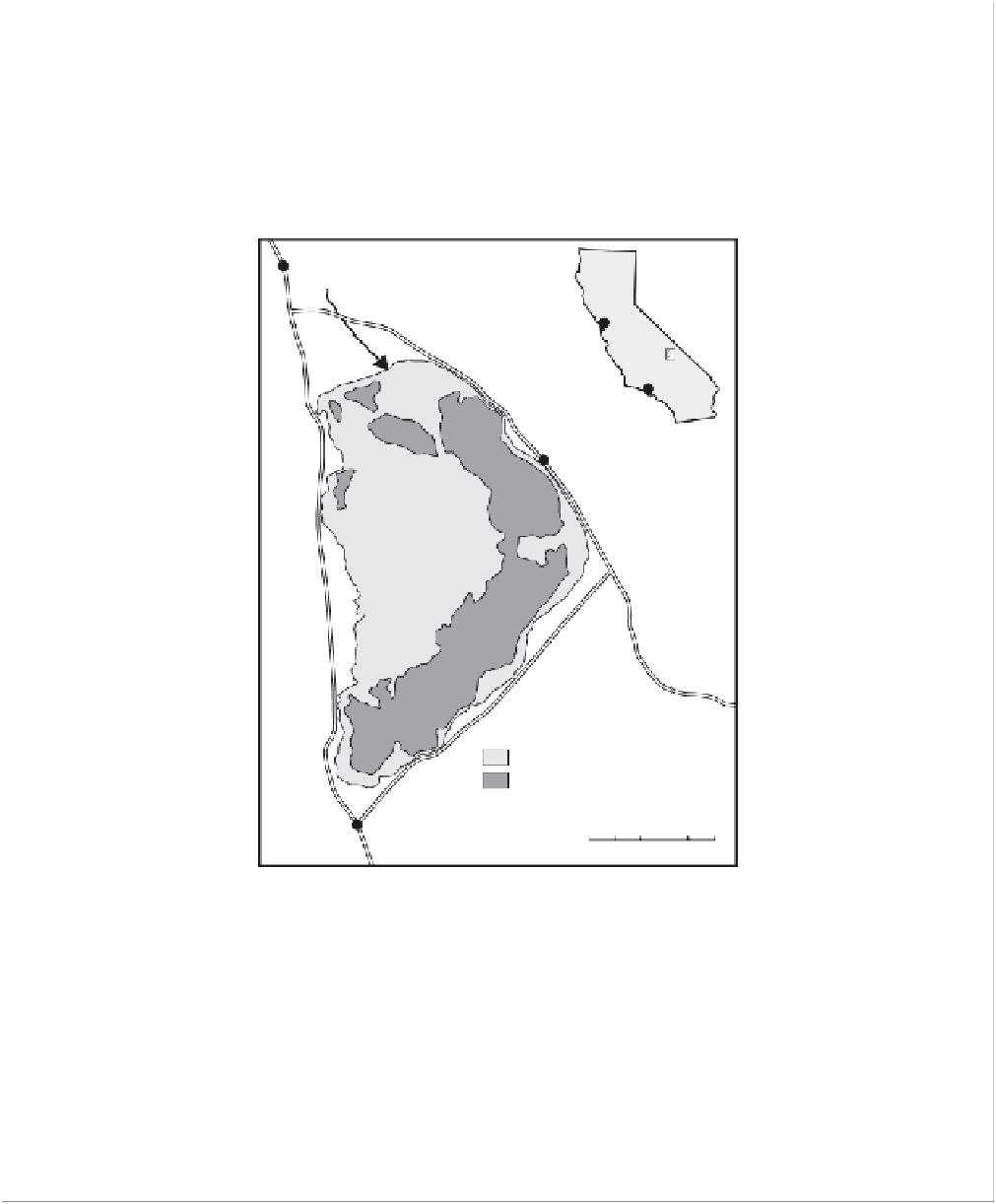
Figure 15.15
Case study: map of Owens Lake, showing dust control areas.
which has subsequently been the largest single source of particulate-matter emission (by one estimate,
900 000-8000 000 tonnes/year) in the United States (e.g. Gill and Gillette, 1991; Cahill
et al.
, 1996; Gillette,
Ono and Richmond, 2003). Research on this playa has led to a greater understanding of the processes involved
in the emission of dust from playas. Gillette, Ono and Richmond (2003) outline the process whereby emission
of dust is initiated through creep (reptation) and saltation of sand-sized particles across the playa surface, which
loosen other particles and sandblast the surface, causing finer particles, including dust, to be ejected and to mix
vertically in the turbulent air stream. The amount of dust emitted was therefore suggested to be proportional to
this horizontal saltation flux on any playa surface. During the period 2000 to 2006 a wide range of dust-control
measures (including the use of shallow flooding, controlled vegetation and gravel) were implemented on a large
part of the former lake bed.