Agriculture Reference
In-Depth Information
Interviewer ID
315
Point ID: 2234568
Map Sec.: 992388 NE
UTM Point Coordinates
X
660400
Y
5036000
Land Use Codes
1
2
3
Land Cover Codes
1
2
3
Notes
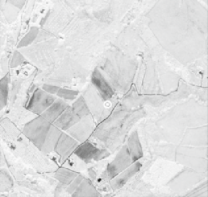
Fig. 9.1 A very simplified scheme of the questionnaire for a survey based on a sample selected
from a point frame
Interviewer ID
315
Polygon ID: 15727
Map Sec.: 992388 NE
Ground Control Points
1 X-UTM______Y-UTM______
2 X-UTM______Y-UTM______
3 X-UTM______Y-UTM______
4 X-UTM______Y-UTM______
5 X-UTM______Y-UTM______
6 X-UTM______Y-UTM______
Notes
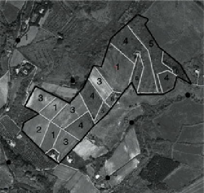
Fig. 9.2 A very simplified scheme of the questionnaire for a survey based on a sample selected
from an irregular polygon frame


Search WWH ::

Custom Search