Graphics Reference
In-Depth Information
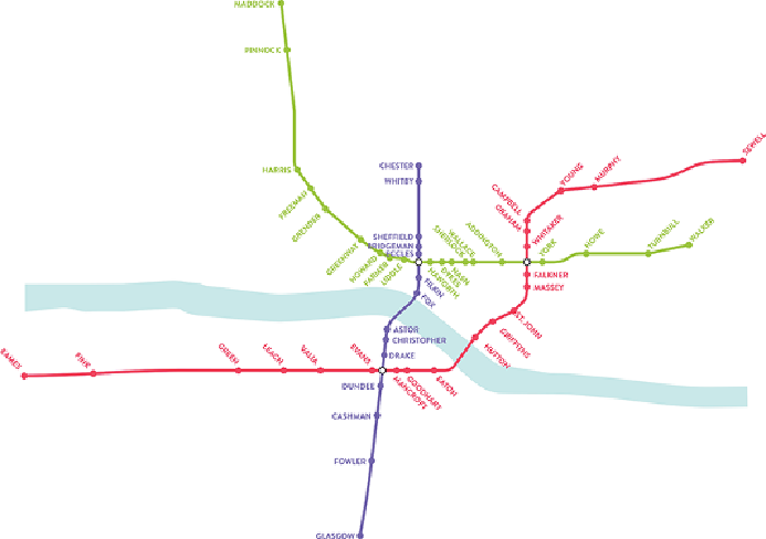
Figure 13-1:
Prior to H. C. Beck's reinvention of the London Underground
map, subway networks were drawn with geospatial accuracy. However, as
the size of networks increased, it became difficult to provide all of the
information in legible form, as illustrated in the fictional map shown here.