Geography Reference
In-Depth Information
5.
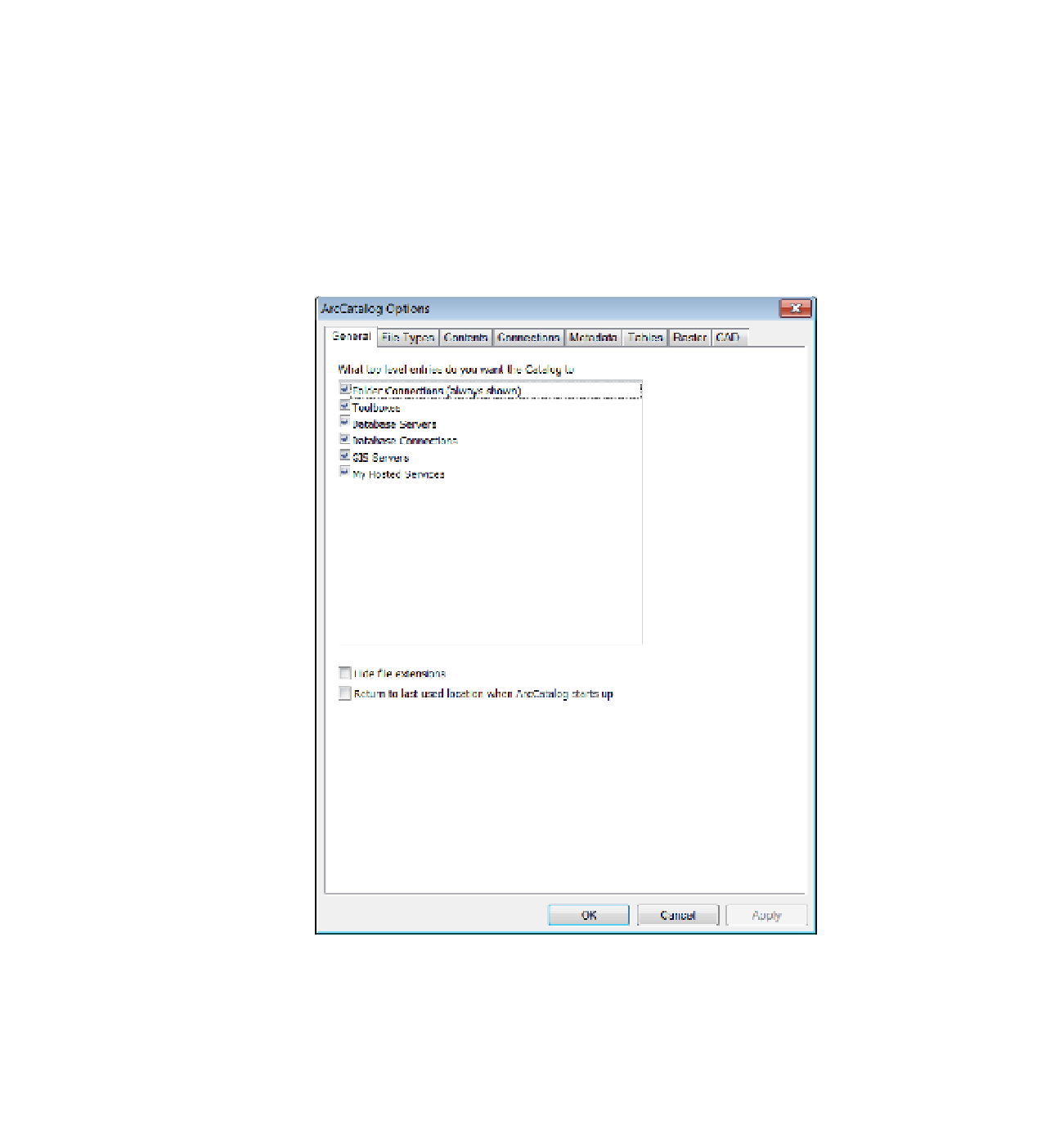
On the Main menu click Customize > ArcCatalog Options > General tab. Several check
boxes will show up in the ArcCatalog Options window. These relate to the types of top-level
entries that the catalog will display. Since you are at an early-learning stage, you want
to have ArcCatalog display everything possible. By clicking the boxes next to the options
in the pane, you can toggle a check mark on or off. Make sure each option has a check
mark in the box to its left. At the bottom of the window, make sure both of the options
(especially Hide file extensions) are unchecked. Click Apply. (If you made no changes in the
pane, Apply will be “grayed out”—a standard feature of ArcGIS software if an action is not
possible, not needed, or not appropriate.) The resultant window should look approximately
like Figure 1-18.
FIGURE 1-18
6.
Click the Contents tab in the Options window. Here, you may specify the information you want
to see about each spatial data set in the catalog when you ask for Details. Read the title over
each pane. In the upper pane, put check marks by Size and by Modified. In the lower pane, put
a check by Projected. The window should look like Figure 1-19. Click Apply. Click OK.


Search WWH ::

Custom Search