Geography Reference
In-Depth Information
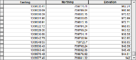
FIGURE 9-12
76.
Start ArcCatalog. Navigate to
IGIS-Arc_
YourInitials
\Elevation_Data\Terrain_Data.
There you will find LIDAR_Points.txt, water_body.shp, and break_lines.shp. (The break_lines
shapefile serves to limit the triangulation that is going take place. The feature class water_body
is there primarily to prevent the embarrassment that would be created by slight errors in the
elevation, creating differences in elevation when there were none, or when the differences were
cause by instantaneous altitude differences caused by ripples or waves. We will use these later
in the Exercise. For now just look at the two shapefiles—both the geographics and tables—to
get an idea of the area.)
Select the table LIDAR_points.txt. When ArcCatalog finds a comma-delimited file with text
headings, it sees it as a table it can work with. Get to the end of the file, which will look like
Figure 9-12. How many records are there? ____________. (Hint: click the “Move to end of table”
button (in the same line as “Record”) and wait.)
77.
Make a File Geodatabase that will contain the Terrain:
Navigate to
IGIS-Arc_
YourInitials
\Elevation_Data\Terrain_Data
Right-click the folder Terrain_Data, and select New from the drop-down menu. Make a new File
Geodatabase and name it Example.gdb.
Right-click Example.gdb and make a new Feature Dataset named Zone. You have to assign a
coordinate system to the feature data set. The feature classes water_body.shp and break_lines.
shp have the proper coordinate system (including projection, datum, and units), so you can
just import the coordinate system from one of them. Highlight Projected Coordinate Systems,
find the Add Coordinate System drop-down menu (a world shaped icon), and press Import.
Browse to
IGIS-Arc_
YourInitials
\Elevation_Data\Terrain_Data\water_body.shp
and press Add. The coordinate system name will be included under Favorites. Click Next.
Expand Vertical Coordinate Systems, expand North America and pick NAVD 1988. Click Next.
Click Finish to complete making the empty feature data set.


Search WWH ::

Custom Search