Geography Reference
In-Depth Information
Calculating a Volume with ArcGIS
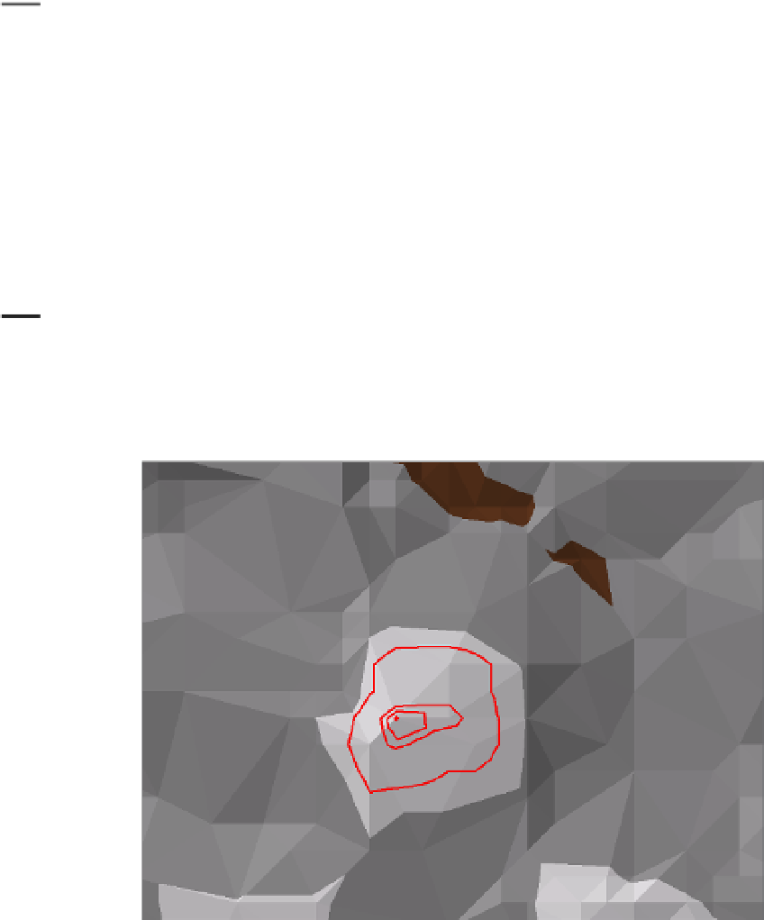
Between two and three miles west of the river bend that you have looked at so often is a little hill peak
that we would like to build a house on. We have to do some grading, because of the rugged terrain. We
have surveyed the area and determined that if we create a flat surface at the 1020 contour elevation, we
will have enough space to build and have a garden, a lawn, and maybe a tennis court. How many cubic
feet of dirt would we have to deal with to flatten it out? We will use as data cole_TIN and our surveyor's
contour lines to determine the answer.
47.
Start ArcCatalog. From
___ IGIS-Arc_
YourInitials
\Trivial_GIS_Datasets
copy Four_contour_lines.shp to
___ IGIS-Arc_
YourInitials
\3-D_Data.
After looking at the geography of the lines, use Identify to determine the elevation, given by
the field name CONTOUR, of the longest, and, in elevation, lowest line. ________. What is the
elevation of the highest line? ________. Measuring up from the 1020 foot elevation to the top,
what difference in altitude are we dealing with? ________ feet.
48.
Start ArcMap with a Blank map. Make sure the 3D Analyst Extension is turned on. Make sure
the 3D Analyst toolbar is turned on. From ___IGIS-Arc_
YourInitials
\3-D_Data, add as data cole_
TIN followed by Four_contour_lines.shp. Make the symbol for the contour lines bright red, size 2.
The location of interest will show up as a red dot on the TIN. Find it and zoom in on the area of
interest. See Figure 9-7.
FIGURE 9-7


Search WWH ::

Custom Search