Geography Reference
In-Depth Information
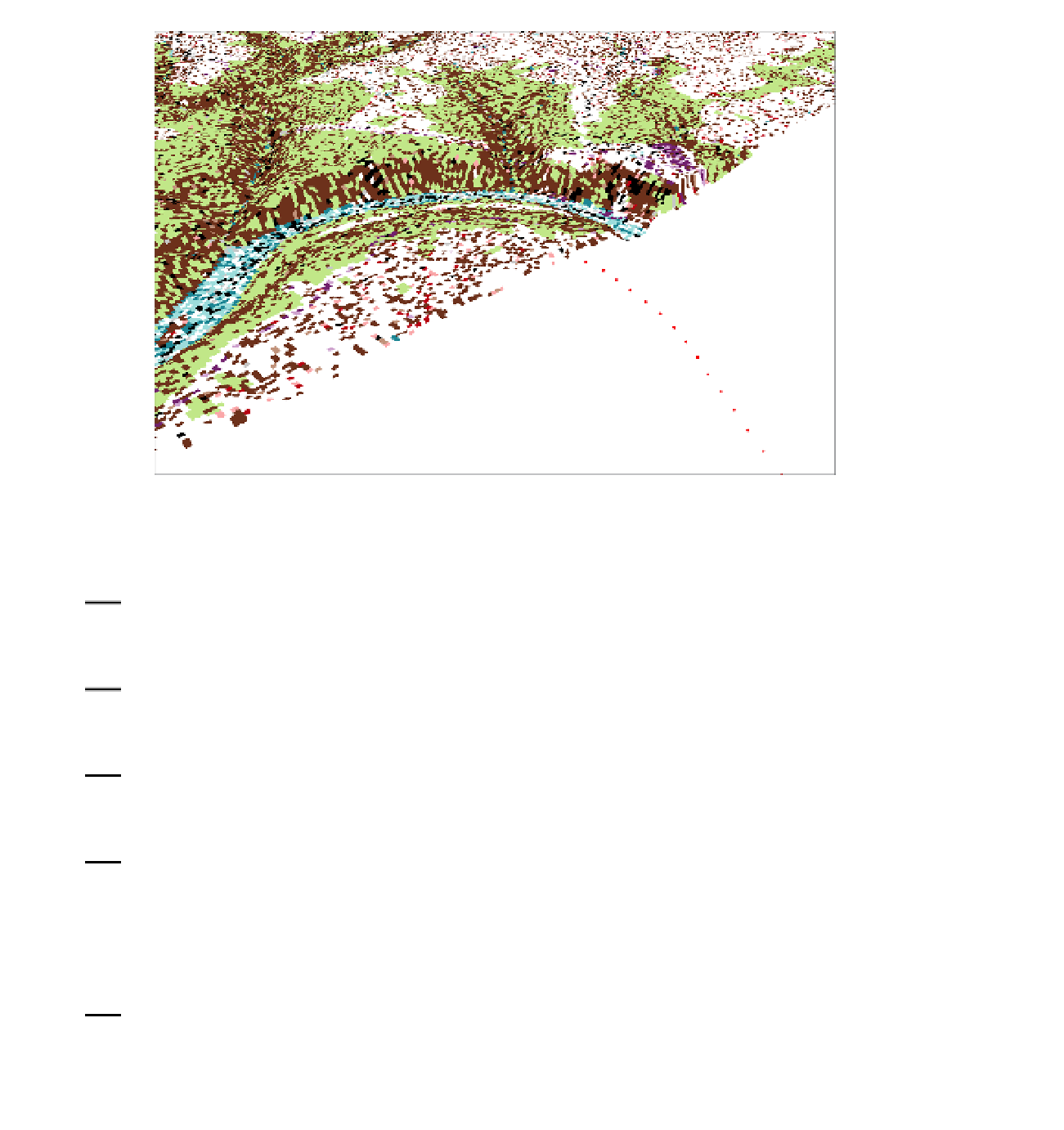
FIGURE 9-3
16.
Display the properties of the DRG. Select the Rendering tab. Under Effects, read the statement
that suggests you have at least some control over the drawing order. Change the priority to
seven, which lowers the priority, since “1” is the highest. Click Apply. Click OK.
17.
Make the display priority for the DEM two. Now as you navigate the scene you still will see
places where the DRG will poke up through the DEM, but the DEM should predominate. Set the
drawing priority of the TIN to 4 and turn it on.
18.
Navigate to a horizontal view of the river bend from the east. Note how the GPS track is
decidedly underneath the other drawn layers. Set the base height of the GPS track (Boat_SP83)
to the same as the DEM.
19.
Finally, set the base heights of the DOQ to that of the DEM. Turn off all layers except the GPS
track and the DOQ. Notice how the DOQ is draped over the landscape. You can see the boat's
path through the valley. Save the map as 3-D_Map_1.sxd in the 3-D Spatial folder.
Viewing 3-D Data with Animation
20.
Call for a new, Blank Scene file. Add as data COLE_TIN. From
[___]IGIS-Arc\Elevation_Data\Animation_Data
add Boat_SP83_elevated.shp.


Search WWH ::

Custom Search