Geography Reference
In-Depth Information
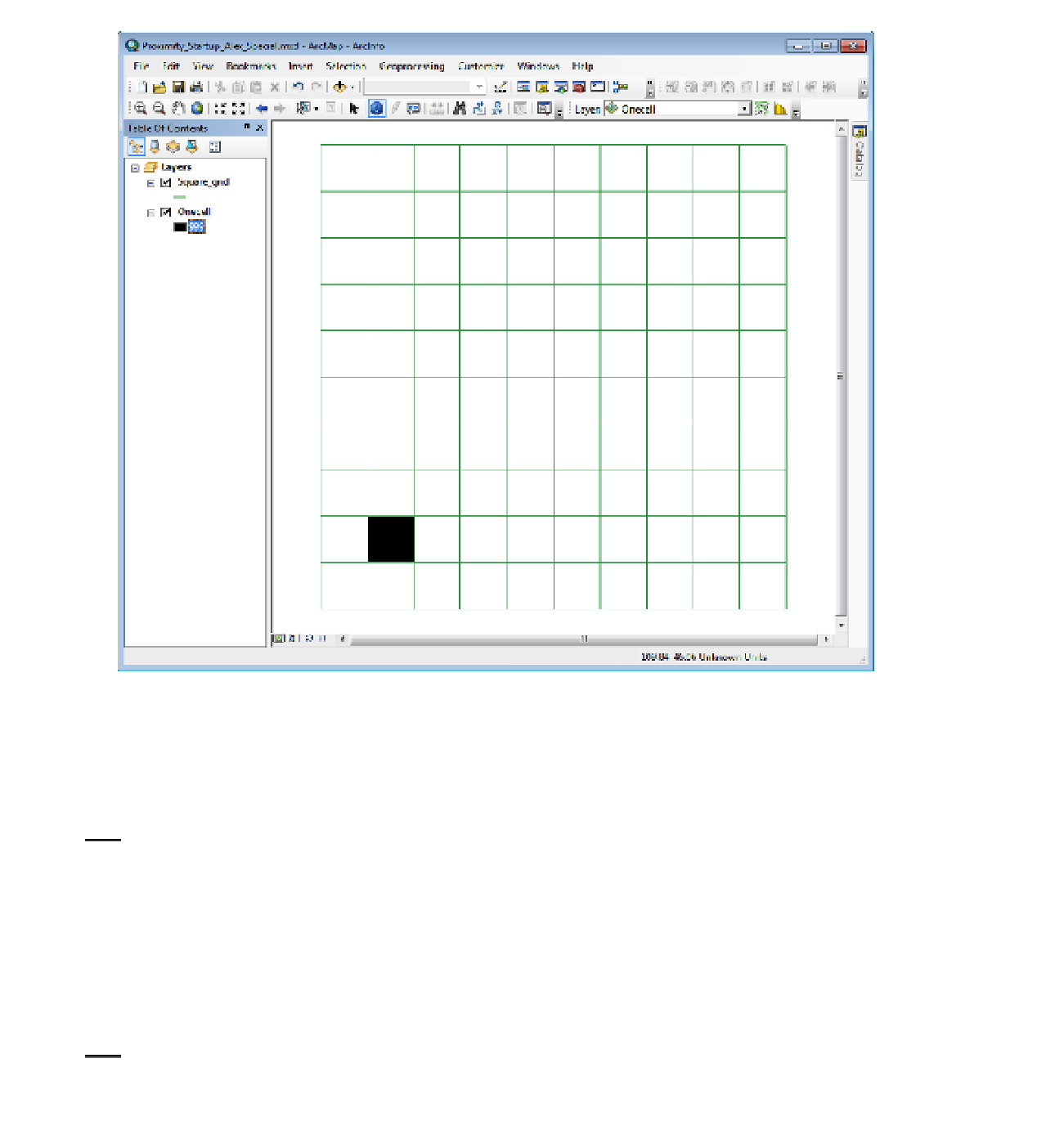
FIGURE 8-46
5.
Prepare to calculate the Euclidean distance:
Start the Euclidean Distance tool which you find in
ArcToolbox > Spatial Analyst Tools > Distance. For Input raster, browse to
___IGIS-Arc_
YourInitials
\Spatial_Analyst_Data\Proximity_Data_SA\Prox_Exp.gdb\Onecell.
(Alternatively, click the arrow for the drop-down menu and pick Onecell. From now on in this
exercise you will be working in the Prox_Exp.gdb in the Proximity_Data_SA folder, so I will only
tell you the name of the dataset.) For the Output raster, browse to the correct gdb and type the
name MapDist1. The Output Cell Size should say 10. Press OK. View full extent.
6.
Spatial Analyst will calculate a raster with the distances and add that dataset to the map.
Change the order of entries in the T/C, so that from top to bottom they are ordered: Square_
Grid, Onecell, MapDist1. See Figure 8-47.


Search WWH ::

Custom Search