Geography Reference
In-Depth Information
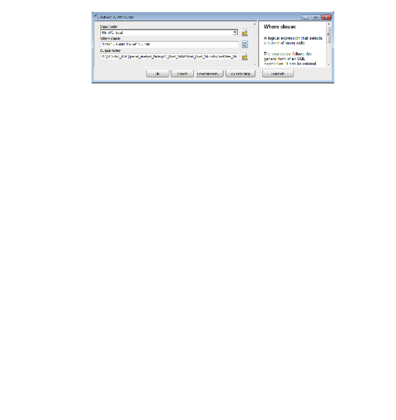
FIGURE 8-45
44.
Verify that the Extract By Attributes window looks like Figure 8-45 and click OK.
Turn off all layers except FinalSites_SA. Examine the sites and compare them with those sites
you found using the vector approach in Chapter 7. How many sites are there? _____ Verify with
the attribute table. Then add as data the Streams feature class from
___IGIS-Arc_
YourInitials
\Spatial_Analyst_Data
\WC_Boat_SA\Wildcat_Boat_SA.mdb\Line_Features
Making the color blue with width 1.
Also add as data the Sewers_buf polygon feature class from
___IGIS-Arc_
YourInitials
\Spatial_Analyst_Data
\WC_Boat_SA\Wildcat_Boat_SA.mdb\Area_Features
making its color hollow and its outline width 2.
Save the map as Final_Sites_SA.mxd in the folder WC_Boat_SA.
45.
As you wish, change the symbology—perhaps even the content of the map—and switch to
Layout View. Add other map components such as title, legend, and so on, as you wish. Print the
layout.
Exercise 8-3 (Project)
Solving a Wildcat Boat Problem with Different
Requirements
Raster processing, by its nature, allows a lot of flexibility. Suppose that the Wildcat Boat facility
requirements could be varied somewhat. Perhaps the 300-meter rule might be waived if the builders
are willing to put in a septic tank. This is not as desirable a solution, but it is a possibility. Suppose
also that agricultural land is deemed as okay, and forested land is no longer absolutely forbidden, but


Search WWH ::

Custom Search